

Ready to explore King Peak, Nevada? Here's everything you need to know before you go!
Discover the trail
Trail description
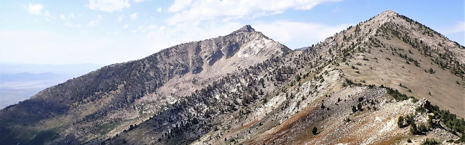
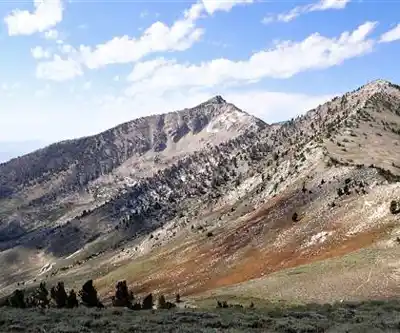
King Peak is one of the most rewarding summit objectives in the Ruby Mountains of northeastern Nevada. Rising as the highest point in the Ruby Mountains, King Peak draws climbers and scramblers who want something more than a casual trail walk — this is a genuine mountain experience in a range that most people outside of Nevada have never heard of, which makes it all the more special.
The Ruby Mountains
The Ruby Mountains are often called the "Alps of Nevada," and once you're standing in them, it's easy to understand why. This compact but dramatic range rises sharply out of the high desert, offering glacially carved cirques, alpine lakes, and rugged ridgelines that feel completely out of place compared to the surrounding basin-and-range terrain. The range sits in Elko County in northeastern Nevada and is managed by the Humboldt-Toiyabe National Forest. It's remote by most standards — you won't find crowds here, even on a summer weekend.
King Peak sits at the heart of the Ruby Mountains Wilderness, a federally designated wilderness area that protects the most rugged and scenic core of the range. The wilderness designation means no motorized or mechanized equipment — it's foot traffic only, which keeps the experience genuinely wild.
What to Expect on the Climb
Climbing King Peak is not a standard maintained hiking trail. This is a route that involves off-trail travel, route-finding, and scrambling on rocky terrain. The approach typically follows established trails into the backcountry before transitioning to cross-country travel as you gain elevation toward the summit ridge. Expect loose rock in places, steep slopes, and sections where you'll be using your hands for balance if not for actual climbing moves.
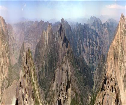
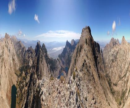
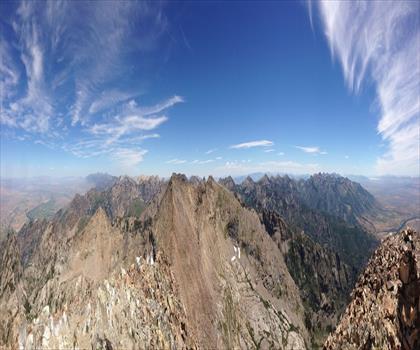
The terrain is alpine — above treeline for much of the upper route — which means exposure to weather, sun, and wind. The views from the upper slopes and summit are expansive, taking in the full sweep of the Ruby Mountains, the surrounding valleys, and on clear days, distant ranges across the Nevada landscape.
Route-finding ability is important here. There is no single obvious path to the top, and conditions can vary significantly depending on the season and recent weather. A topographic map and the ability to read it are genuinely useful, not just nice to have.
Terrain and Conditions
The Ruby Mountains hold snow well into summer, and King Peak's upper elevations can retain snow and ice into July or even later in heavy snow years. Early season attempts may require an ice axe and crampons depending on conditions. Late summer and early fall — typically August through September — tend to offer the most stable and accessible conditions for reaching the summit.
The rock in the Ruby Mountains is primarily quartzite and schist, which is generally solid but can be blocky and angular. Watch for loose sections, especially on steeper faces and gullies. Afternoon thunderstorms are a real concern in summer — the standard mountain advice applies here: start early, be off exposed ridges before early afternoon if storms are building.
Wildlife and Environment
The Ruby Mountains Wilderness is home to a healthy population of California bighorn sheep, and the upper elevations around King Peak are prime habitat. Seeing bighorn on the rocky slopes above treeline is a genuine possibility and one of the highlights of spending time in this range. Mule deer, mountain lions, black bears, and a variety of raptors also inhabit the area. The alpine zones support pika and marmot populations as well — you'll likely hear pikas calling from the talus fields on the upper mountain.
The vegetation transitions dramatically as you gain elevation, moving from sagebrush and mountain mahogany at lower elevations through stands of aspen and conifer, then into open subalpine terrain and finally the bare rock and sparse alpine plants of the summit zone.
Access and Logistics
Access to the Ruby Mountains requires driving into a genuinely remote part of Nevada. The town of Elko serves as the main hub for supplies and services before heading into the range. Roads into the mountains are typically unpaved for the final approaches, and a high-clearance vehicle is recommended. Check current road conditions before heading out, as washouts and seasonal closures can affect access.
There are several trailheads that provide access into the Ruby Mountains Wilderness, with Lamoille Canyon being the most well-known and accessible entry point into the range. From there, routes into the backcountry and toward King Peak involve significant elevation gain and distance — plan for a multi-day backpacking trip if you want to approach the summit without rushing, or a very long and demanding day if attempting it as a day trip.
Camping within the Ruby Mountains Wilderness follows Leave No Trace principles. There are no fees to enter the wilderness area itself, though some developed campgrounds at lower elevations near the trailheads do charge a fee. Water is available from streams and lakes in the backcountry but should be treated before drinking.
Who This Route Is For
King Peak is best suited for hikers and climbers who are comfortable with off-trail navigation, have experience on rocky and potentially loose terrain, and are prepared for a serious physical effort. This is not a beginner objective. That said, it doesn't require technical climbing gear under normal late-summer conditions — strong hikers with good route-finding skills and a solid fitness base can reach the summit without ropes or specialized equipment when conditions are favorable.
If you're new to the Ruby Mountains, spending a night or two in the backcountry before attempting King Peak is a smart way to get a feel for the terrain, the weather patterns, and the scale of the range before committing to the summit push.
Permits and Regulations
No permit is currently required to hike or climb in the Ruby Mountains Wilderness. The area is managed by the Humboldt-Toiyabe National Forest, and standard wilderness regulations apply: pack out all waste, camp at least 200 feet from water sources, and respect the no-mechanized-equipment rules of the wilderness designation. Dogs are permitted but must be under control at all times — given the bighorn sheep population in the area, keeping dogs leashed or very well managed is strongly encouraged.
King Peak rewards the effort it takes to get there with a summit experience that feels genuinely earned, in a mountain range that remains one of Nevada's best-kept outdoor secrets.
The Essential Hiking Checklist
Everything you need for your next hike. Bilingual, printable, 1 page.
Get your free hiking checklistRecommended gear for this trail
As an Amazon Associate I earn from qualifying purchases.


Ready to go?
Everything you need to know before you goWhen?
How much?
As an Amazon Associate I earn from qualifying purchases.
Affiliate links — LGPO may earn a commission at no extra cost to you.
- Hiking shoes Essential
- → Salomon Elixir Tour Mid WP · 203.38 $
- Layered clothing Essential
- Rain jacket Essential
- Trekking poles
- → Black Diamond Trail Ergo Cork · 69.99 $
- Headlamp
- → Petzl Actik Core 625 · 103.95 $
FAQ - Frequently asked questions
Everything you need to knowSimilar hikes nearby
Discover other trails you might enjoy
Hiking near Victoria
93 trails to explore ~1083 km away
We work hard to provide the most up-to-date and error-free data possible. If something seems incorrect, let us know! Your contribution helps the whole community.
Hikers' opinions
Be the first to review!
No hiker has shared their experience yet. Share your impressions and help other hikers!