
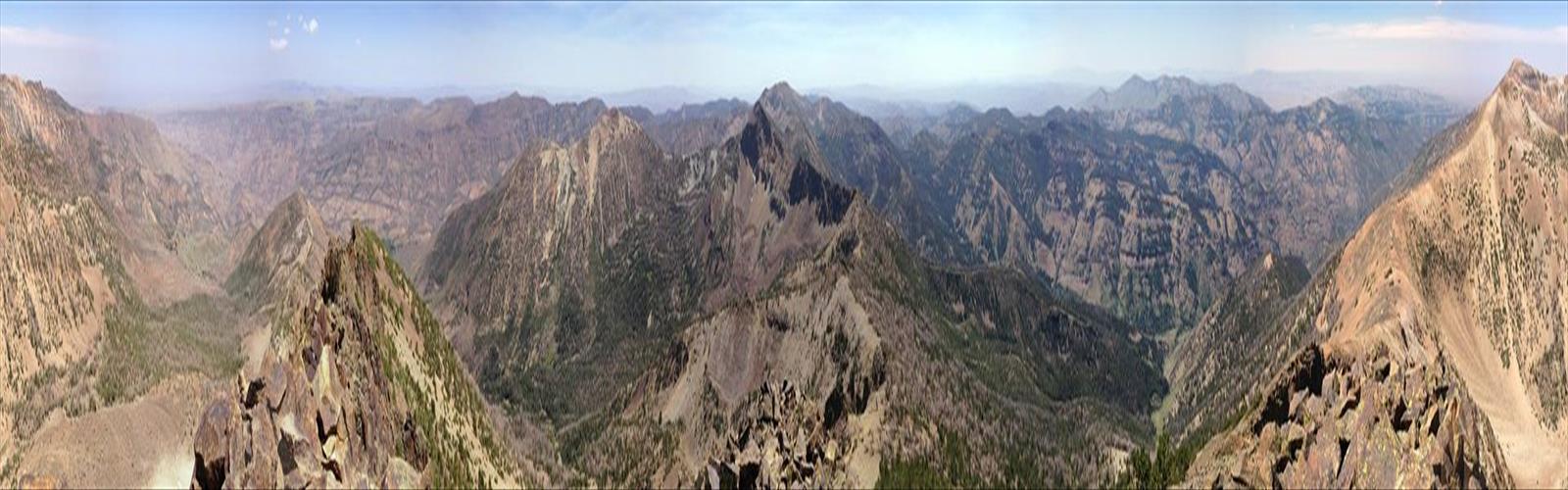

Ready to explore Matterhorn, Nevada? Here's everything you need to know before you go!
Discover the trail
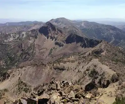
Trail description
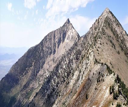
The Matterhorn in Nevada's Ruby Mountains is one of the most striking alpine objectives in the Great Basin. Rising sharply above the surrounding terrain, this peak draws climbers and scramblers who are looking for something more demanding than a standard trail hike — and who want a genuine high-country experience far from the crowds.
The Ruby Mountains Setting
The Ruby Mountains are often called the "Alps of Nevada," and for good reason. This range rises dramatically out of the high desert of northeastern Nevada, offering a landscape that feels genuinely remote and wild. The Rubies are home to glacially carved cirques, alpine lakes, and rugged ridgelines that stand in sharp contrast to the basin-and-range terrain that surrounds them. The Matterhorn is one of the range's most prominent summits, and its name reflects the kind of jagged, pointed profile that sets it apart from the gentler peaks nearby.
Access to the Ruby Mountains is typically through Lamoille Canyon, a glacially sculpted valley that serves as the main gateway into the range. The canyon road provides access to several trailheads, and the scenery along the way — sheer canyon walls, aspen groves, and cascading streams — is worth the drive on its own.
What to Expect on the Matterhorn Climb
This is not a casual day hike. The Matterhorn in the Ruby Mountains involves real elevation gain, off-trail travel, and route-finding on rocky terrain. Depending on the approach and the line you choose to the summit, you'll be dealing with talus fields, steep grassy slopes, and sections of exposed scrambling near the top. Solid footwear with ankle support is essential, and trekking poles are useful on the descent.
The terrain is alpine in character — open, exposed, and subject to fast-changing weather. Afternoon thunderstorms are a real concern during summer months, so early starts are strongly recommended. Being on or near the summit when a storm rolls in is a serious risk in this kind of open, high-elevation terrain.
Route-finding is part of the challenge here. There is no maintained trail to the summit, so navigational skills and a good map or GPS track are important. The approach typically involves following established trails into the backcountry before transitioning to off-trail terrain as you gain elevation toward the peak.
Terrain and Conditions
The Ruby Mountains hold snow well into summer, and the Matterhorn's north-facing aspects can retain snow and ice even when lower elevations are clear. If you're planning a spring or early summer attempt, be prepared for snow travel and consider bringing an ice axe and knowing how to use it. By mid to late summer, conditions are generally more straightforward, though the rock can be loose in places and requires careful movement.
The alpine environment here is fragile. Vegetation above treeline is slow to recover from damage, so staying on rock and snow where possible — rather than cutting across tundra and meadow — helps preserve the terrain for future visitors.
Wildlife and Scenery
The Ruby Mountains are home to a healthy population of California bighorn sheep, and the high ridgelines and cirques around the Matterhorn are prime habitat. Spotting a group of bighorns picking their way across a rocky slope is one of the genuine highlights of spending time in this range. Marmots are common at elevation, and raptors — including golden eagles — are frequently seen riding thermals above the ridgelines.
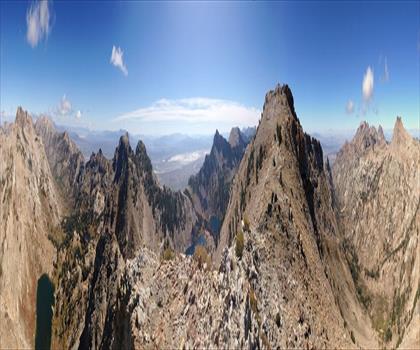
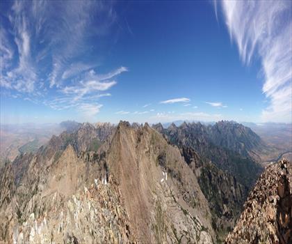
The views from the upper slopes and summit are expansive. The Great Basin stretches out in every direction, with the Ruby Valley visible to the east and the broad desert basins extending to the west. On a clear day, the sense of scale is remarkable — you're standing on one of the highest points in a range that rises like an island above a sea of high desert.
Practical Information
- Location: Ruby Mountains, northeastern Nevada
- Type of objective: Alpine scramble / off-trail climb
- Recommended season: Mid-summer through early fall, when snow conditions allow safe travel
- Navigation: Off-trail route-finding required; bring a detailed map and GPS
- Weather: Start early to avoid afternoon thunderstorms
- Gear: Sturdy hiking boots, trekking poles, layers for alpine conditions; ice axe may be needed in early season
- Leave No Trace: Stay on rock and durable surfaces above treeline to protect fragile alpine vegetation
The Matterhorn in Nevada's Ruby Mountains rewards those who come prepared — it's a serious objective in a genuinely spectacular and undervisited mountain range.
The Essential Hiking Checklist
Everything you need for your next hike. Bilingual, printable, 1 page.
Get your free hiking checklistRecommended gear for this trail
As an Amazon Associate I earn from qualifying purchases.


Ready to go?
Everything you need to know before you goWhen?
How much?
As an Amazon Associate I earn from qualifying purchases.
Affiliate links — LGPO may earn a commission at no extra cost to you.
- Hiking shoes Essential
- → Salomon Elixir Tour Mid WP · 203.38 $
- Layered clothing Essential
- Rain jacket Essential
- Trekking poles
- → Black Diamond Trail Ergo Cork · 69.99 $
- Headlamp
- → Petzl Actik Core 625 · 103.95 $
FAQ - Frequently asked questions
Everything you need to knowSimilar hikes nearby
Discover other trails you might enjoy
Hiking near Kelowna
45 trails to explore ~953 km away
We work hard to provide the most up-to-date and error-free data possible. If something seems incorrect, let us know! Your contribution helps the whole community.
Hikers' opinions
Be the first to review!
No hiker has shared their experience yet. Share your impressions and help other hikers!