
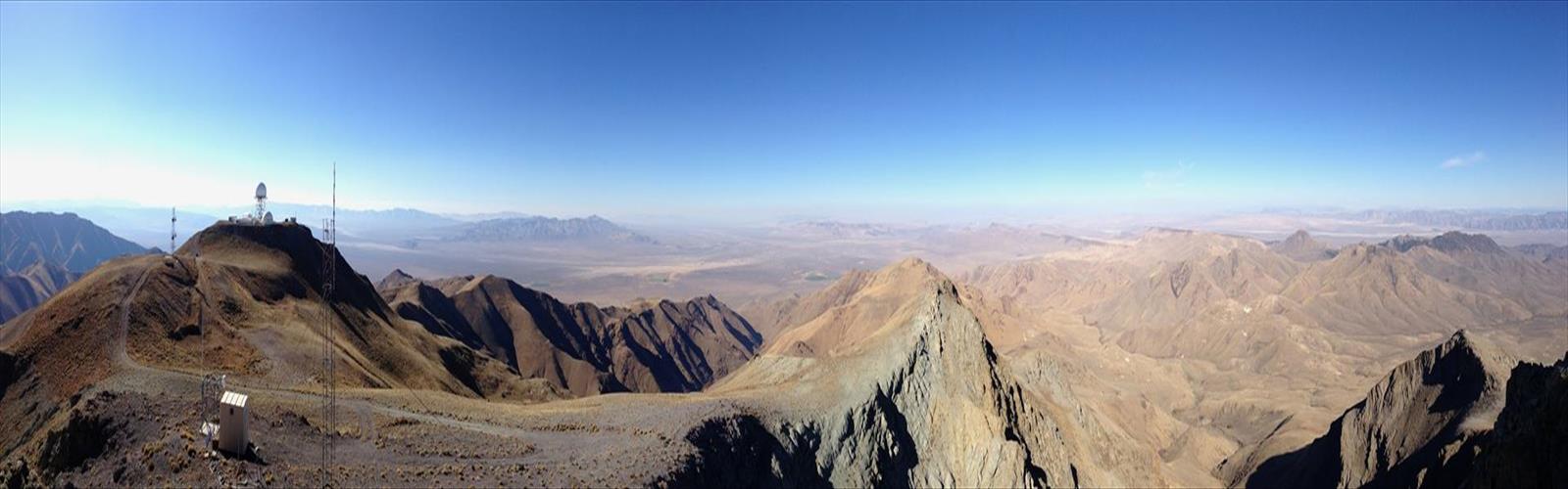

Ready to explore Mount Lewis, Nevada? Here's everything you need to know before you go!
Discover the trail
Trail description
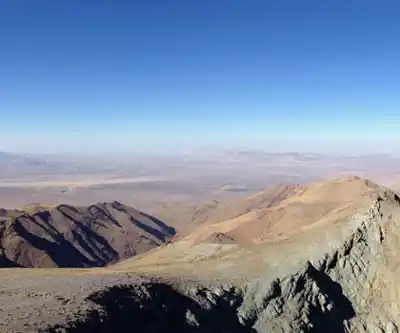
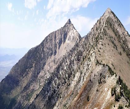
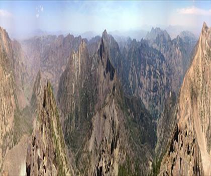
Mount Lewis sits in the heart of the Ruby Mountains in northeastern Nevada — a range that most people outside the Great Basin have never heard of, but that serious hikers and peak baggers quietly consider one of the best-kept secrets in the American West. This is high desert alpine terrain at its most dramatic: sharp ridgelines, glacially carved cirques, and sweeping views that stretch across the basin and range landscape in every direction.
The Ruby Mountains Context
The Ruby Mountains rise sharply out of the high desert floor of northeastern Nevada, forming a narrow north-south spine that catches enough moisture to support genuine alpine ecosystems. The range is sometimes called the "Alps of Nevada" by locals — not as marketing fluff, but because the terrain genuinely surprises people who expect flat sagebrush country. Mount Lewis is one of the prominent summits in this range, and climbing it gives you a real sense of the scale and character of the Rubies.
The surrounding landscape is managed as part of the Humboldt-Toiyabe National Forest, and the Ruby Mountains Wilderness protects much of the high country. That wilderness designation means no motorized vehicles and relatively light infrastructure — which is exactly what keeps this area feeling remote and uncrowded compared to more famous ranges in the West.
What to Expect on the Climb
Climbing Mount Lewis is a genuine mountaineering objective in the Nevada context. The approach and ascent involve navigating high-elevation terrain where the route is not always a groomed trail — expect some route-finding, loose rock on steeper sections, and the kind of physical commitment that separates a peak climb from a standard day hike.
The Ruby Mountains terrain is characterized by quartzite and other metamorphic rock, which gives the ridgelines and summit areas a rugged, angular character. Footing can be tricky on steeper slopes, especially where talus and scree accumulate below cliff bands. Trekking poles are useful, and solid footwear with ankle support is strongly recommended.
The high elevation of the Ruby Mountains means weather can shift quickly. Clear mornings can give way to afternoon thunderstorms, particularly in summer. Starting early is standard practice for any summit attempt in this range — being on the exposed upper mountain before midday is the goal.
The Views and the Terrain
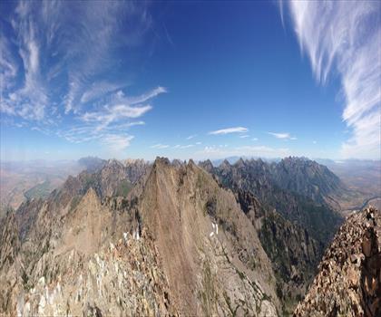
From the upper slopes and summit of Mount Lewis, the views are genuinely expansive. The Ruby Valley stretches out to the east, and the Humboldt River basin opens up to the west. On clear days, the visibility across the Great Basin is remarkable — ridge after ridge of basin-and-range topography fading into the distance. This is one of the things that makes climbing in the Rubies worthwhile: the summit reward is real, not just a slightly higher point in a forested landscape.
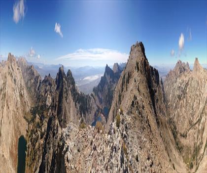
The high country around Mount Lewis also holds some of the best alpine scenery in Nevada. Glacially carved bowls, small tarns, and rocky cirques are part of the landscape at elevation. The transition from sagebrush foothills to alpine tundra happens relatively quickly as you gain elevation, and the contrast is striking.
Wildlife and Natural Environment
The Ruby Mountains support a surprisingly diverse range of wildlife given their location in the Great Basin. Mule deer and mountain goats are present in the high country. Raptors — including golden eagles — are commonly spotted riding thermals above the ridgelines. The range also supports populations of Himalayan snowcock, an introduced species that has established itself in the high rocky terrain and is a draw for bird hunters and wildlife watchers alike.
The vegetation shifts noticeably with elevation. Lower approaches move through sagebrush and mountain mahogany. Higher up, you encounter aspen groves, subalpine meadows, and eventually the sparse vegetation of the alpine zone near the summit. Wildflowers can be abundant in the meadow zones during the right season.
Access and Logistics
The Ruby Mountains are accessed primarily from the town of Elko to the north, or from smaller communities along the base of the range. Road access to trailheads varies — some require high-clearance vehicles, particularly after wet weather when dirt roads can become soft. Checking current road conditions before heading out is worth the effort.
The area is remote by Nevada standards. Services are limited once you leave Elko, so arriving with a full tank of gas, adequate water, and enough food for your planned outing is essential. Cell service is unreliable or nonexistent in most of the range.
There are campgrounds in the Ruby Mountains area that provide a base for multi-day objectives or early-morning starts on summit climbs. Dispersed camping is also possible in many areas of the national forest, following Leave No Trace principles and any current fire restrictions in effect.
Who This Climb Is For
Mount Lewis is best suited for hikers and climbers who are comfortable with off-trail navigation, have experience on loose or rocky terrain, and are prepared for the physical demands of a high-elevation summit push in a remote setting. This is not a beginner destination — the combination of elevation, route-finding requirements, and distance from services means you need to come prepared.
That said, experienced hikers who are used to peak bagging in the western United States will find Mount Lewis to be a genuinely rewarding objective. The Ruby Mountains deliver a quality of alpine experience that is rare in Nevada, and the relative obscurity of the range means you are unlikely to share the summit with a crowd.
Practical Tips
- Start early: Afternoon thunderstorms are a real hazard on exposed summit terrain. Aim to be off the high ground by early afternoon.
- Navigation: Bring a topographic map and compass or a GPS device loaded with the relevant maps. Trail markings are minimal in the high country.
- Water: Carry more than you think you need. Water sources exist in the mountains but should be treated before drinking.
- Footwear: Sturdy hiking boots with ankle support are appropriate for the rocky, uneven terrain on the upper mountain.
- Weather awareness: Check forecasts before departure and be prepared to turn around if conditions deteriorate.
- Leave No Trace: The Ruby Mountains Wilderness is a protected area. Pack out all waste and stay on durable surfaces where possible to protect the fragile alpine environment.
The Essential Hiking Checklist
Everything you need for your next hike. Bilingual, printable, 1 page.
Get your free hiking checklistRecommended gear for this trail
As an Amazon Associate I earn from qualifying purchases.


Ready to go?
Everything you need to know before you goWhen?
How much?
As an Amazon Associate I earn from qualifying purchases.
Affiliate links — LGPO may earn a commission at no extra cost to you.
- Hiking shoes Essential
- → Salomon Elixir Tour Mid WP · 203.38 $
- Layered clothing Essential
- Rain jacket Essential
- Trekking poles
- → Black Diamond Trail Ergo Cork · 69.99 $
- Headlamp
- → Petzl Actik Core 625 · 103.95 $
FAQ - Frequently asked questions
Everything you need to knowSimilar hikes nearby
Discover other trails you might enjoy
Hiking near Victoria
93 trails to explore ~1030 km away
We work hard to provide the most up-to-date and error-free data possible. If something seems incorrect, let us know! Your contribution helps the whole community.
Hikers' opinions
Be the first to review!
No hiker has shared their experience yet. Share your impressions and help other hikers!