

Ready to explore Churchill Peak? Here's everything you need to know before you go!
Discover the trail
Trail description
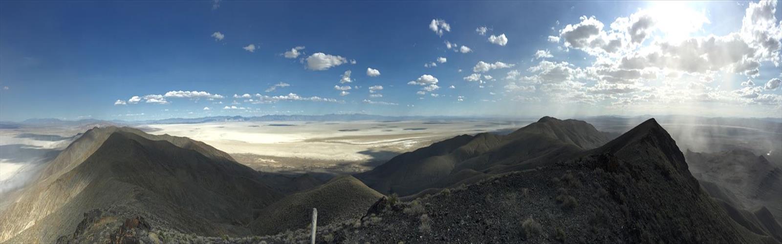
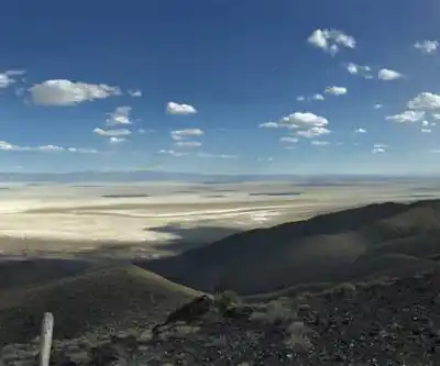
Churchill Peak sits in the Spring Mountains, just west of Las Vegas, and it's one of those destinations that rewards hikers who are willing to put in the work. The terrain here is rugged, the elevation gain is real, and the views you get at the top make the effort feel completely worth it. If you're based in the Las Vegas Valley and looking for a mountain experience that feels genuinely remote — not just a quick desert loop — Churchill Peak delivers.
The Setting
The Spring Mountains rise dramatically out of the Mojave Desert, and Churchill Peak is part of that range. The contrast is striking: you leave behind the heat and flatness of the valley floor and climb into a landscape of limestone ridges, conifer forest, and rocky open terrain. The mountain environment here is a world apart from the desert below, and that shift in character is a big part of what makes this hike feel special.
The area sits within the Spring Mountains National Recreation Area, managed by the Humboldt-Toiyabe National Forest. This is public land with genuine wilderness character — expect exposed ridgelines, loose rock in places, and the kind of quiet that's hard to find anywhere near Las Vegas.
The Terrain
Churchill Peak is not a casual stroll. The route involves sustained climbing, and the upper sections push through rocky, open terrain where route-finding matters. The trail isn't always obvious, and hikers should be comfortable navigating in mountain conditions. Trekking poles are useful here, especially on the descent when loose rock and steep grades can make footing tricky.
As you gain elevation, the vegetation shifts noticeably. Lower sections move through scrub and transitional forest, while higher up you're in ponderosa pine and white fir territory. Near the summit, the trees thin out and the terrain opens up into exposed rocky ground. The summit itself offers panoramic views across the Spring Mountains and out toward the Las Vegas Valley — on a clear day, the scale of what you're looking at is genuinely impressive.
The rock underfoot is predominantly limestone, which is characteristic of the Spring Mountains. It can be slippery when wet, so if there's been recent rain or snow at elevation, adjust your expectations and your footwear accordingly.
What to Expect on the Trail
This is a mountain hike, and it should be treated like one. The elevation at the trailhead is already significantly higher than the valley floor, but the climb to Churchill Peak adds considerable height on top of that. Hikers who aren't acclimatized to elevation may feel the effects — take your time, drink water consistently, and don't push through warning signs.
The trail sees less traffic than some of the more popular Spring Mountains routes, which means you're more likely to have stretches of the hike to yourself. That said, it also means you shouldn't count on other hikers to bail you out if something goes wrong. Go prepared: carry more water than you think you need, bring a map (not just a phone), and let someone know your plan.
Wildlife in the Spring Mountains includes mule deer, wild turkeys, and a variety of raptors. The forest sections of the hike are good habitat for birds, and it's worth slowing down occasionally to look and listen.
Practical Information
- Location: Spring Mountains, Las Vegas Valley area, Nevada
- Land manager: Humboldt-Toiyabe National Forest / Spring Mountains National Recreation Area
- Terrain type: Rocky mountain trail with exposed ridgeline sections
- Best conditions: Late spring through early fall, when snow has cleared from the upper elevations — check current conditions before heading out, as the Spring Mountains hold snow well into spring
- What to bring: Plenty of water, sun protection, layers (temperatures at elevation are significantly cooler than in the valley), trekking poles, and a paper map or downloaded offline map
- Dogs: Check current regulations with the Humboldt-Toiyabe National Forest before bringing a dog, as rules can vary by zone within the recreation area
Getting There
Access to the Spring Mountains is primarily via State Route 159 (Blue Diamond Road) or State Route 156/157/158, depending on which trailhead you're targeting. The drive from Las Vegas takes you through the desert and into the mountains relatively quickly — the elevation gain on the road itself is noticeable. Parking areas in the Spring Mountains National Recreation Area may require a fee or an America the Beautiful pass; confirm current requirements before your visit.
Cell service in the mountains is unreliable, so download your maps and any relevant information before you leave the valley. The Spring Mountains Visitor Center in Kyle Canyon is a good resource for current trail conditions, maps, and local knowledge if you want to stop in before hitting the trail.
Who This Hike Is For
Churchill Peak is best suited for hikers who already have some mountain experience and are comfortable on unmarked or lightly marked terrain. It's not the right choice for a first-time hiker or anyone who isn't prepared for a sustained physical effort at elevation. For experienced hikers, though, it's exactly the kind of objective that makes living near Las Vegas feel like a genuine outdoor advantage — serious mountain terrain within reach of the city, without the crowds you'd find at more well-known destinations.
If you're building up to Churchill Peak, spending time on other Spring Mountains trails first is a smart approach — the area has a range of routes that let you get a feel for the terrain and the elevation before committing to a more demanding summit push.
The Essential Hiking Checklist
Everything you need for your next hike. Bilingual, printable, 1 page.
Get your free hiking checklistRecommended gear for this trail
As an Amazon Associate I earn from qualifying purchases.


Ready to go?
Everything you need to know before you goWhen?
How much?
As an Amazon Associate I earn from qualifying purchases.
Affiliate links — LGPO may earn a commission at no extra cost to you.
- Hiking shoes Essential
- → Salomon Elixir Tour Mid WP · 203.38 $
- Layered clothing Essential
- Rain jacket Essential
- Trekking poles
- → Black Diamond Trail Ergo Cork · 69.99 $
- Headlamp
- → Petzl Actik Core 625 · 103.95 $
FAQ - Frequently asked questions
Everything you need to knowSimilar hikes nearby
Discover other trails you might enjoy
Temple Mesa
Las Vegas Valley
Ruby Crest National Recreation Trail
Las Vegas Valley
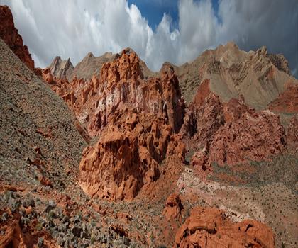
Bowl of Fire
Las Vegas Valley
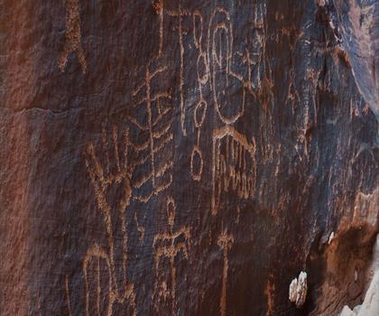
Gold Butte, Nevada
Las Vegas Valley
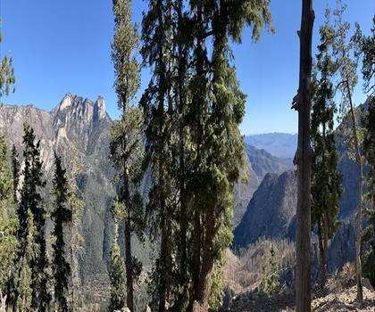
Harris Mountain, Nevada
Las Vegas Valley
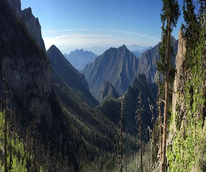
Mummy Mountain, Nevada
Las Vegas Valley
Hiking near Sydney
22 trails to explore ~7609 km away
We work hard to provide the most up-to-date and error-free data possible. If something seems incorrect, let us know! Your contribution helps the whole community.
Hikers' opinions
Be the first to review!
No hiker has shared their experience yet. Share your impressions and help other hikers!