

Ready to explore Point Rock Trail? Here's everything you need to know before you go!
Discover the trail
Trail description
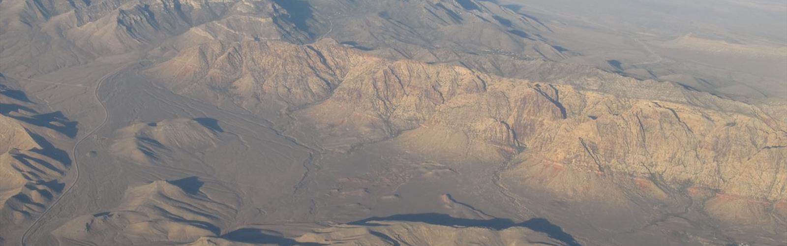
Point Rock Trail is one of those hikes in the Las Vegas Valley that reminds you just how much raw desert landscape exists right outside the city. While the Strip gets all the attention, this trail offers something genuinely different — a chance to move through rugged terrain, read the geology underfoot, and get a real feel for the Mojave Desert environment that surrounds Las Vegas on all sides.
The Terrain
The trail takes its name from the distinctive rocky outcropping that serves as the focal point of the hike. The landscape here is classic Mojave: hardpacked desert soil, scattered scrub vegetation, and exposed rock formations that have been shaped by wind and extreme temperature swings over thousands of years. The ground can be uneven in sections, with loose gravel and embedded rock requiring you to watch your footing, especially on any inclined stretches.
The rock itself — the "point" the trail leads toward — is the kind of geological feature that makes desert hiking worth it. Up close, you can see the layering and texture that tells the story of this land long before anyone was hiking through it. It's a natural landmark that gives the route a clear sense of purpose and destination.
What to Expect on the Trail
Point Rock Trail has a straightforward character. It's the kind of hike where you're not fighting through dense vegetation or navigating complicated junctions — the desert opens up around you and the route follows the natural contours of the land toward the rock formation. That said, desert trails have their own demands. Sun exposure is significant, shade is minimal, and the heat in the Las Vegas Valley can be intense depending on when you visit.
The trail rewards hikers who take their time. There's a lot to notice at ground level — desert plants adapted to survive in extreme conditions, the occasional lizard darting across the path, and the kind of silence that's hard to find anywhere near a major city. The views across the valley open up as you gain any elevation, giving you a broader perspective on the surrounding landscape.
Flora and Wildlife
The vegetation along Point Rock Trail is typical of the Mojave Desert ecosystem. Expect to see creosote bush, which is one of the most drought-tolerant plants on the continent, along with various desert shrubs and, depending on the season, wildflowers that push through the dry soil after any rainfall. Joshua trees may be present in the area, as they're a defining species of the Mojave at certain elevations.
Wildlife in this environment tends to be most active in the early morning and late afternoon when temperatures drop. Lizards are common and easy to spot. Birds of prey occasionally circle overhead, using the thermals that rise off the sun-baked rock. If you're hiking quietly and paying attention, the desert reveals more than it initially lets on.
Practical Information
Given the Las Vegas Valley location, a few practical points are worth keeping in mind before you head out:
- Heat management: The Las Vegas Valley is one of the hottest urban areas in North America. Even on trails that aren't technically demanding, heat can turn a straightforward hike into a serious situation quickly. Start early in the morning, especially from late spring through early fall.
- Water: Carry more than you think you need. There is no water available on desert trails like this one, and dehydration in dry desert air happens faster than most people expect.
- Sun protection: A hat, sunscreen, and UV-protective clothing aren't optional here — they're standard gear for any desert hike in the Las Vegas Valley.
- Footwear: Trail runners or hiking boots with good grip are recommended. The rocky and uneven terrain isn't the place for casual sneakers.
- Timing: The cooler months — roughly November through March — are the most comfortable time to hike in this region. Summer hiking is possible but requires an early start and careful planning.
Getting There
Point Rock Trail is located in the Las Vegas Valley, making it accessible from the city without a long drive. As with most desert trailheads in the area, it's worth confirming current access and parking conditions before you go, as desert roads can be affected by weather events and conditions can change. A GPS or mapping app with the trailhead coordinates loaded is a reliable way to navigate to the starting point.
Who This Trail Is For
Point Rock Trail suits hikers who want a genuine desert experience without needing to travel far from Las Vegas. It's a good fit for people who are comfortable in open, exposed terrain and understand the basics of desert hiking — primarily heat awareness and water management. The rocky destination gives the hike a clear goal, which makes it satisfying even for those who prefer routes with a defined endpoint rather than a loop through undifferentiated terrain.
If you're visiting Las Vegas and want to spend a morning doing something that has nothing to do with the indoors, Point Rock Trail is a solid choice that puts you directly into the landscape that defines this part of Nevada.
The Essential Hiking Checklist
Everything you need for your next hike. Bilingual, printable, 1 page.
Get your free hiking checklistRecommended gear for this trail
As an Amazon Associate I earn from qualifying purchases.


Ready to go?
Everything you need to know before you goWhen?
How much?
As an Amazon Associate I earn from qualifying purchases.
Affiliate links — LGPO may earn a commission at no extra cost to you.
- Hiking shoes Essential
- → Salomon Elixir Tour Mid WP · 203.38 $
- Layered clothing Essential
- Rain jacket Essential
- Trekking poles
- → Black Diamond Trail Ergo Cork · 69.99 $
- Headlamp
- → Petzl Actik Core 625 · 103.95 $
FAQ - Frequently asked questions
Everything you need to knowSimilar hikes nearby
Discover other trails you might enjoy
Temple Mesa
Las Vegas Valley
Churchill Peak
Las Vegas Valley
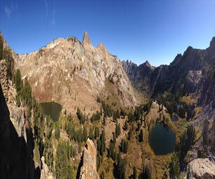
Ruby Crest National Recreation Trail
Las Vegas Valley
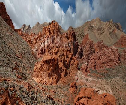
Bowl of Fire
Las Vegas Valley
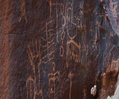
Gold Butte, Nevada
Las Vegas Valley
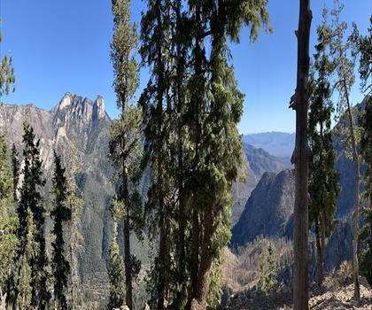
Harris Mountain, Nevada
Las Vegas Valley
Hiking near Sydney
22 trails to explore ~7668 km away
We work hard to provide the most up-to-date and error-free data possible. If something seems incorrect, let us know! Your contribution helps the whole community.
Hikers' opinions
Be the first to review!
No hiker has shared their experience yet. Share your impressions and help other hikers!