
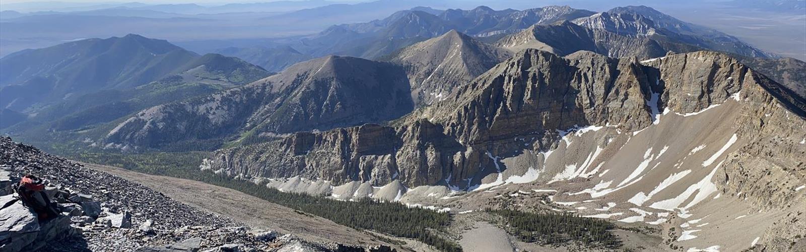
Ready to explore Wheeler Peak, Nevada? Here's everything you need to know before you go!
Discover the trail
Trail description
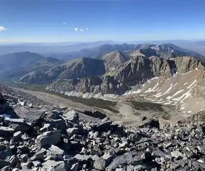
Wheeler Peak stands as Nevada's second-highest summit at 13,065 feet (3,982 m), offering one of the most challenging and rewarding hiking experiences in the Silver State. Located in Great Basin National Park in eastern Nevada, this imposing peak attracts experienced hikers seeking a true high-altitude adventure in the remote wilderness of the Snake Range.
Trail Overview
The Wheeler Peak Summit Trail spans approximately 8.2 to 8.8 miles round trip, depending on starting point and route variations, with elevation gain ranging from 2,900 to 3,100 feet. Starting elevation is typically 10,000 to 10,160 feet at the trailhead. The hike is rated as strenuous and typically requires 4 to 10 hours to complete, making it a full-day commitment. The standard route begins at the Summit Trailhead or Wheeler Peak Campground.
The Mountain and Its Character
Wheeler Peak dominates the landscape of Great Basin National Park, rising dramatically from the high desert floor to create an alpine environment unique in Nevada. The mountain's summit provides commanding views across the Great Basin, with vistas extending into Utah and across Nevada's basin and range topography. The peak's elevation creates a sky island ecosystem, supporting plant and animal communities found nowhere else in the region.
The approach to Wheeler Peak takes you through multiple life zones, from sagebrush and pinyon-juniper woodlands at lower elevations through aspen groves and coniferous forests, eventually reaching the stark alpine zone near the summit. This dramatic elevation change creates a diverse hiking experience that showcases the ecological richness of the Great Basin region.
Route Description and Terrain
The route starts at the Summit Trailhead and follows the Wheeler Peak Trail, beginning with gradual sections through open meadows. The trail is generally well-marked, though it becomes rocky and narrow as you progress. Much of the final approach involves scrambling over loose rock and navigating steep terrain above treeline. The upper reaches of the mountain are exposed, making weather monitoring essential for safety.
Early morning starts are essential for summit attempts, both to avoid afternoon thunderstorms and to allow sufficient time for the long approach and descent. Start very early in the day because of the risk of afternoon thunderstorms, which pose a serious threat during summer months.
Seasonal Conditions and Timing
Wheeler Peak hiking is typically possible from late June through September, though conditions vary significantly with weather patterns and snowpack. Snow can persist on the upper mountain well into summer, and early season attempts may require mountaineering equipment.
Summer conditions bring intense sun exposure at high elevation and the constant threat of afternoon thunderstorms. The exposed nature of the upper mountain makes lightning a serious concern, and hikers must be prepared to retreat quickly if weather deteriorates.
Fall can offer excellent hiking conditions with stable weather and fewer crowds, though temperatures drop significantly and daylight hours become limited.
Wildlife and Natural Features
The diverse elevations encountered on Wheeler Peak support an impressive array of wildlife. Lower elevations host mule deer, mountain lions, and various desert species, while the higher reaches provide habitat for pikas, marmots, and mountain goats. Bird life includes raptors, mountain bluebirds, and Clark's nutcracker.
The mountain's plant communities change dramatically with elevation. Ancient bristlecone pines, some among the oldest living trees on Earth, can be found on the mountain's slopes. These gnarled survivors have withstood centuries of harsh mountain weather and represent one of the unique natural treasures of the Wheeler Peak area. Alpine wildflowers bloom briefly during the short growing season, creating spectacular displays in meadows and on rocky slopes.
Access and Logistics
Reaching Wheeler Peak requires driving through Great Basin National Park to the Wheeler Peak Campground or Summit Trailhead, which serves as the starting point for the hike. The park entrance provides information about current conditions, weather forecasts, and safety considerations specific to high-altitude hiking.
Camping at Wheeler Peak Campground offers the advantage of an early start and acclimatization to higher elevation. Reservations are recommended during peak season. Water availability becomes critical on the hike, so carry adequate supplies for the entire day.
Safety and Preparation
Wheeler Peak demands serious preparation and respect for the mountain environment. The combination of high elevation, exposed terrain, and remote location creates potential risks. Proper gear including layers for changing conditions, navigation equipment, emergency supplies, and communication devices is essential.
Physical conditioning should focus on cardiovascular fitness and leg strength. Route-finding skills become important on the upper mountain where conditions can change rapidly and visibility may be reduced. Acclimatize for a day first if possible, or you'll feel the effects of the elevation. The remote location means that rescue operations would be complex and time-consuming, making conservative decision-making crucial for safe hiking on Wheeler Peak.
In winter
According to the National Park Service (NPS), the paved Wheeler Peak Scenic Drive closes in winter and after snowfall: closed to vehicles, it stays open to skiers and snowshoers. The Wheeler Peak Summit, Alpine Lakes Loop and Bristlecone trails remain open, but the only access is then the Lehman Creek Trail, and the park advises against these trips without significant backcountry and winter experience and equipment. For winter ascents it notes that 3 to 6 feet of snow can accumulate at Wheeler Peak Campground and along the Alpine Lakes Loop, that the middle section needs skis or snowshoes, that avalanche danger is a concern and that it is easy to get off route.
Everything you need for your next hike. Bilingual, printable, 1 page.
Get your free hiking checklistRecommended gear for this trail
As an Amazon Associate I earn from qualifying purchases.


Ready to go?
Everything you need to know before you goWhen?
As an Amazon Associate I earn from qualifying purchases.
Affiliate links — LGPO may earn a commission at no extra cost to you.
- Hiking shoes Essential
- → Salomon Elixir Tour Mid WP · 203.38 $
- Layered clothing Essential
- Rain jacket Essential
- Trekking poles
- → Black Diamond Trail Ergo Cork · 69.99 $
- Headlamp
- → Petzl Actik Core 625 · 103.95 $
FAQ - Frequently asked questions
Everything you need to knowOutings near Wheeler Peak, Nevada
Discover other trails you might enjoy
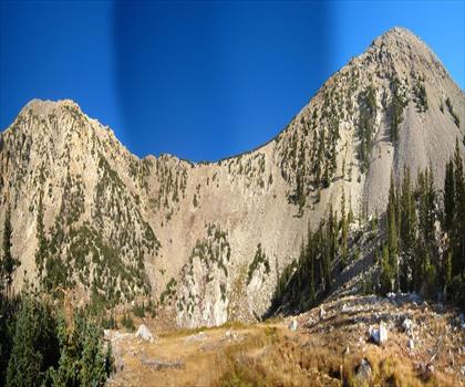
Mount Washington, Nevada
Pony Express Territory · 7.9 km away
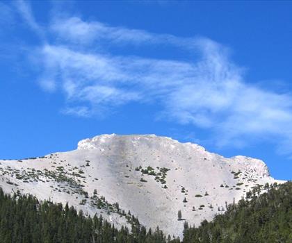
Mount Moriah, Nevada
Pony Express Territory · 33.4 km away
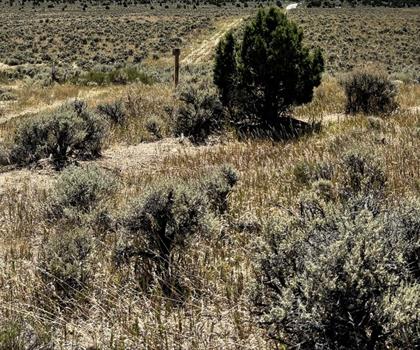
Ward Mountain, Nevada
Pony Express Territory · 54.0 km away

Shingle Peak, Nevada
Eastern Nevada · 75.2 km away
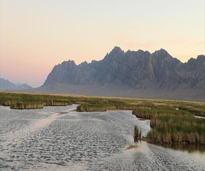
Fish Springs National Wildlife Refuge
Central Utah · 126.8 km away
Hiking near Victoria
105 trails to explore ~1276 km away
We work hard to provide the most up-to-date and error-free data possible. If something seems incorrect, let us know! Your contribution helps the whole community.
Hikers' opinions
Be the first to review!
No hiker has shared their experience yet. Share your impressions and help other hikers!