
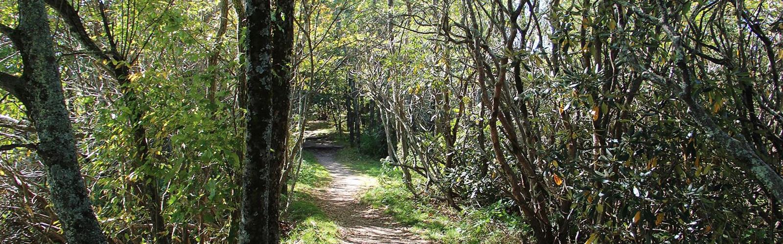
Ready to explore Mountains-to-Sea Trail? Here's everything you need to know before you go!
Discover the trail
Trail description
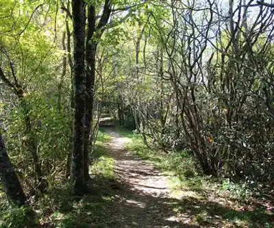
The Mountains-to-Sea Trail (MST) is a long-distance trail that crosses North Carolina from west to east. NC Parks, the state's parks and recreation division, says it begins at Kuwohi in Great Smoky Mountains National Park and ends at Jockey's Ridge State Park. The MST is an official unit of North Carolina's state parks system. Section sponsors build, maintain and manage their sections; the Friends of the Mountains-to-Sea Trail is the partner organization.
Length and state of the route
The numbers differ by source. The Friends of the Mountains-to-Sea Trail, the nonprofit that supports the trail, gives 1,175 miles of route on its home page, 725 of them on trail; connecting back roads and an optional paddle route complete the crossing. Its FAQ gives about 720 miles of trail on natural surface or greenway instead. NC Parks writes that the MST will be about 1,400 miles long once fully built, and that more than 675 miles are already built and designated. According to Wikipedia, a little over half of the route is complete, in several disconnected segments.
What the trail passes through
According to Wikipedia, the route passes or is planned to pass, from west to east, through Great Smoky Mountains National Park, the Blue Ridge Parkway (which the trail roughly follows through the mountains), Nantahala and Pisgah National Forests, Mount Mitchell State Park, Pilot Mountain and Hanging Rock State Parks, Haw River State Park, Eno River State Park, Falls Lake State Recreation Area, Croatan National Forest, Cape Hatteras National Seashore and Pea Island National Wildlife Refuge. It also uses several ferry routes. Its highest point is Mount Mitchell, at 6,684 feet (2,037 m).
Dogs, permits and camping
The Friends' FAQ says dogs are welcome most places on the MST, always on a leash. They are prohibited in Great Smoky Mountains National Park, on the Sauratown Trail (most of Segment 7) and in Pea Island National Wildlife Refuge, and other areas may restrict them at certain times.
The same FAQ says the MST has no system of campsites and shelters like the Appalachian Trail. Backcountry camping permits are required in Great Smoky Mountains National Park (US$4.00 per person per night) and in the Linville Gorge Wilderness on weekends and holidays from May 1 to October 31 (free). Elsewhere on the MST, hikers do not need a permit.
When to go
The Friends recommend spring or fall, when temperatures are not extremely hot or cold. They note that snow is still possible at high elevations as late as April. For a full thru-hike, they advise allowing three to four months. The trail is blazed with a white circle about three inches across; the Friends say the trail is transitioning to a new blaze of the same size that carries the MST logo.
The map pin: Jockey's Ridge
NC Parks places Jockey's Ridge in Dare County on the Outer Banks and says the park marks the eastern terminus of the Mountains-to-Sea State Trail. The main access and visitor center are at 300 W. Carolista Drive in Nags Head. Day-use access is free, and pets are allowed on a leash of 6 feet or less, except inside buildings. NC Parks lists about 1 mile of hiking at the Main Access and 0.75 mile at the Soundside Access.
For the rest of the trail, the Friends keep the list of access points and the section guides.
Services and amenities
Everything you need for your next hike. Bilingual, printable, 1 page.
Get your free hiking checklistRecommended gear for this trail
As an Amazon Associate I earn from qualifying purchases.


Ready to go?
Everything you need to know before you goStarting Point
The Mountains-to-Sea Trail has no single starting point. The map pin is Jockey's Ridge State Park (main access: 300 W. Carolista Drive, Nags Head), where the trail ends in the east. For other access points, see the list kept by the Friends of the Mountains-to-Sea Trail.
When?
As an Amazon Associate I earn from qualifying purchases.
Affiliate links — LGPO may earn a commission at no extra cost to you.
- Hiking shoes Essential
- → Salomon Elixir Tour Mid WP · 203.38 $
- Layered clothing Essential
- Rain jacket Essential
- Trekking poles
- → Black Diamond Trail Ergo Cork · 69.99 $
- Headlamp
- → Petzl Actik Core 625 · 103.95 $
FAQ - Frequently asked questions
Everything you need to knowOutings near Mountains-to-Sea Trail
Discover other trails you might enjoy
False Cape State Park
Blue Ridge Highlands · 76.7 km away
Great Dismal Swamp
Blue Ridge Highlands · 111.0 km away
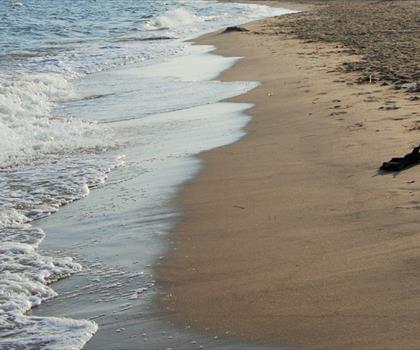
First Landing State Park
Blue Ridge Highlands · 111.2 km away
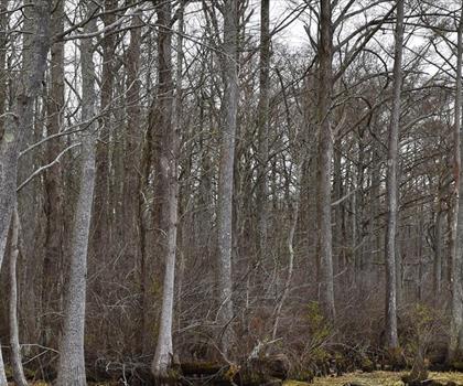
Chowan River
Coast · 122.2 km away

Lake Maury
Blue Ridge Highlands · 143.3 km away
Hiking near Philadelphia
75 trails to explore ~445 km away
We work hard to provide the most up-to-date and error-free data possible. If something seems incorrect, let us know! Your contribution helps the whole community.
Hikers' opinions
Be the first to review!
No hiker has shared their experience yet. Share your impressions and help other hikers!