
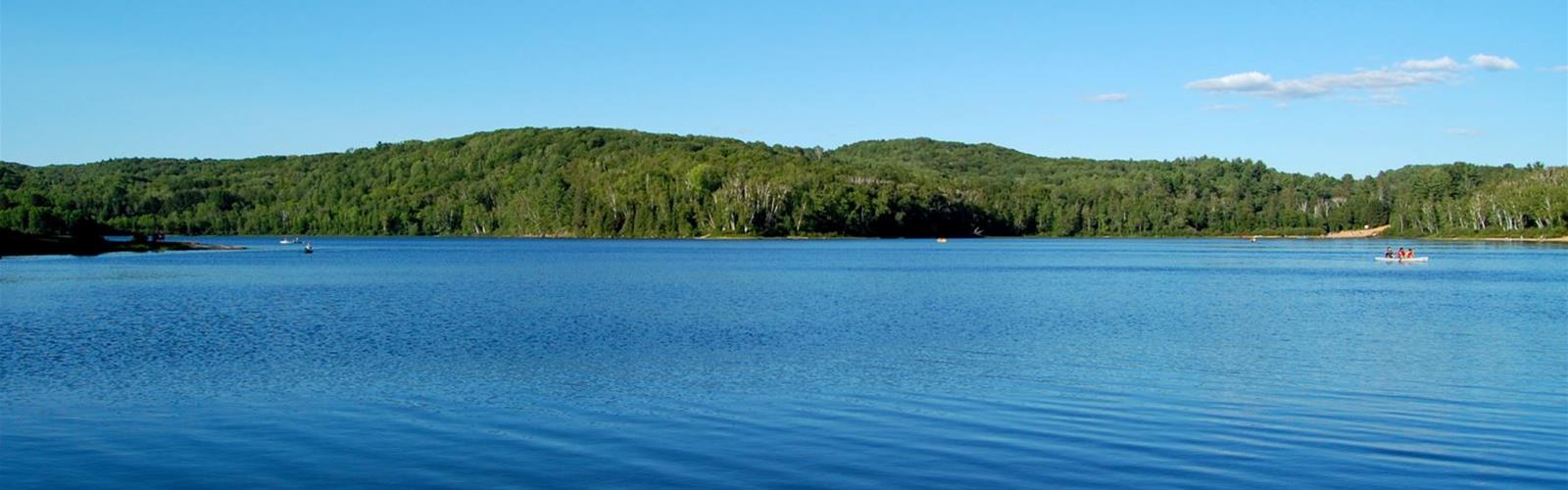

Ready to explore Arrowhead Provincial Park? Here's everything you need to know before you go!
Discover the trail
Available trails
| TrailTrails | Dist.Distance | GainElevation | TimeDuration | Difficulty | GPX |
|---|---|---|---|---|---|
|
Beginner
|
2.6 km | — | 35min | Beginner | |
|
Intermediate
|
5.1 km | — | 1h | Intermediate | |
|
Intermediate
|
4 km | — | 53min | Intermediate | |
|
Intermediate
|
2.8 km | — | 37min | Intermediate | |
|
Intermediate
|
2.1 km | — | 28min | Intermediate |
Trail description
The trails
These are the hiking trails listed on Ontario Parks' Activities page, with their figures.
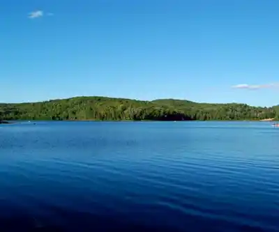
- Arrowhead Lake Trail: 5.1 km, about 1.5 hours, moderate. It circles the main lake, with views of the lake and wetlands where Great Blue Herons are often seen.
- Beaver Meadow Trail: 4 km, about 2 hours, moderate. It loops a beaver pond and passes Porcupine Bluffs, an old lake shoreline. Reach it from North Lumby Campground or the Arrowhead Lake Trail; combined with that trail, the total is 9 km. It also passes the remains of the Oke homestead.
- Homesteaders Trail: 2.8 km, about 1 hour, moderate. Rugged terrain past abandoned farm fields reclaimed by forest.
- Mayflower Lake Trail: 2.1 km, about 30 minutes, moderate. Hilly, with several climbs and descents, and it can be muddy.
- Stubb's Falls Trail: 2.6 km, about 45 minutes, easy. It ends at a waterfall on the Little East River. Ontario Parks suggests early spring, for wildflowers and songbirds.
- Big Bend Lookout: a short, easy walk from the Roe Campground Road parking lot to a view over the Big East River.
Swimming and dogs
The park has a main beach (Beach 2, behind the Visitor Centre), Beach 1, Lumby Beach and Roe Beach. The park page mentions three sand beaches and the Activities page four, so the count depends on the page. There are no lifeguards. Dogs are not allowed on beaches except the designated dog beach; Ontario Parks also lists a leashed-pet section near the walking bridge at Beach 1 and Lumby Beach. Leash of 2 m maximum; minimum fine $95.
Winter
Ontario Parks describes the park as well known for winter activities: 28 km of classic and 16 km of skate ski trails, more than 8 km of marked snowshoe trails, and a 1.3 km skating trail through the forest, lit on "Fire and Ice" nights. Skis, snowshoes and skates are rented at the Pavilion. The Muskoka Loppet is held in the park every January.
Facilities
The park has four comfort stations, showers, a Visitor Centre, two park stores and three warm-up shelters. Canoes, kayaks and stand-up paddleboards can be rented.
Permit and parking
Every vehicle needs a valid park permit (digital or physical) and must park in a designated area; otherwise the minimum fine is $30. The daily permit amount is not published for this park: call 705-789-5105 before you go. Cross-country skiing fees are included in the daily vehicle permit.
Services and amenities
This information may vary by season.
The Essential Hiking Checklist
Everything you need for your next hike. Bilingual, printable, 1 page.
Get your free hiking checklistRecommended gear for this trail
As an Amazon Associate I earn from qualifying purchases.


Ready to go?
Everything you need to know before you goStarting Point
451 Arrowhead Park Road, Huntsville, Ontario. The map point is the park office; each trail has its own start (North Lumby Campground for Beaver Meadow, the Roe Campground Road parking lot for Big Bend Lookout).
When?
Park open January 1 to December 31, 2026. Ontario Parks publishes no hours for facilities.
How much?
As an Amazon Associate I earn from qualifying purchases.
Affiliate links — LGPO may earn a commission at no extra cost to you.
- Hiking shoes Essential
- → Salomon Elixir Tour Mid WP · 203.38 $
- Layered clothing Essential
- Rain jacket Essential
- Trekking poles
- → Black Diamond Trail Ergo Cork · 69.99 $
- Headlamp
- → Petzl Actik Core 625 · 103.95 $
FAQ - Frequently asked questions
Everything you need to knowAlternatives and suggestions
The Stubb's Falls Trail (2.6 km, easy) has its own page: see Stubb's Falls.
Similar hikes nearby
Discover other trails you might enjoy
Opeongo Lake
Algonquin Park, Almaguin Highlands, Muskoka and Parry Sound
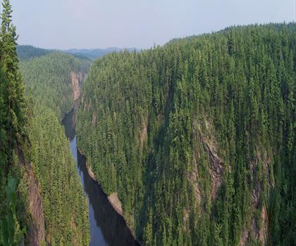
Barron Canyon
Algonquin Park, Almaguin Highlands, Muskoka and Parry Sound
Doe Lake
Algonquin Park, Almaguin Highlands, Muskoka and Parry Sound
Centennial Ridges Trail
Algonquin Park, Almaguin Highlands, Muskoka and Parry Sound
Hardy Lake
Algonquin Park, Almaguin Highlands, Muskoka and Parry Sound
Whitestone Lake
Algonquin Park, Almaguin Highlands, Muskoka and Parry Sound
Hiking near Barrie
146 trails to explore ~118 km away
We work hard to provide the most up-to-date and error-free data possible. If something seems incorrect, let us know! Your contribution helps the whole community.
Hikers' opinions
Be the first to review!
No hiker has shared their experience yet. Share your impressions and help other hikers!