
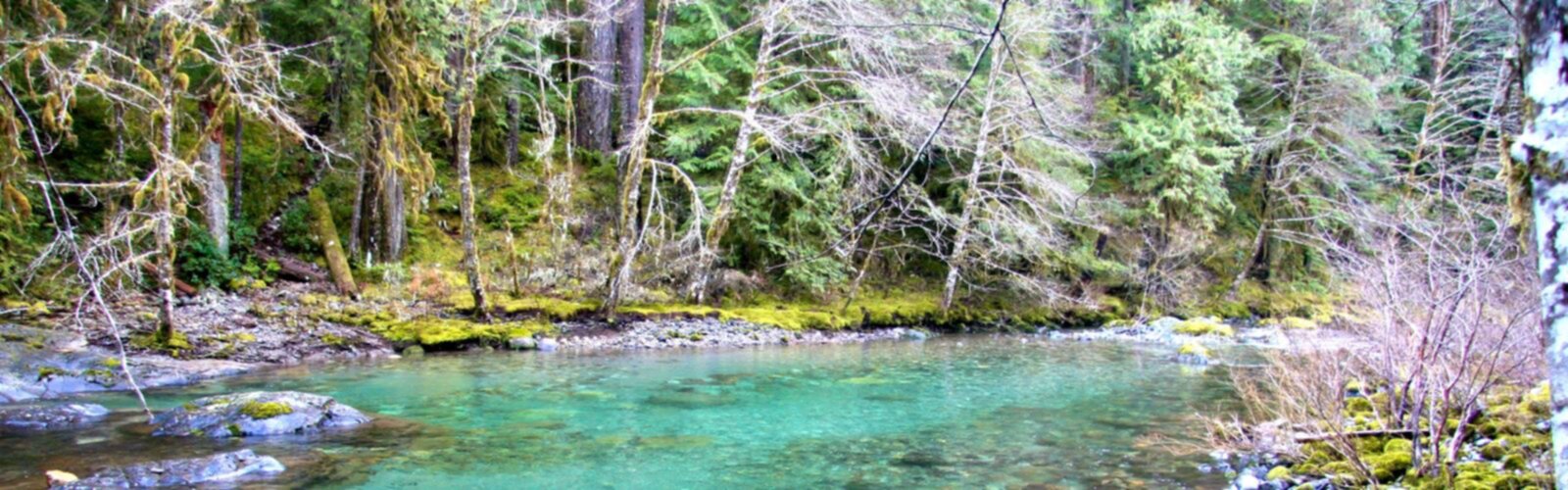

Ready to explore Oregon Trail? Here's everything you need to know before you go!
Discover the trail
Oh no! We don't have any photos 😢
This trail hasn't been captured yet. Be the first to share your adventure!Trail description
The Oregon Trail is a 2,170-mile (3,490 km) historic east–west, large-wheeled wagon route and emigrant trail that connected the Missouri River to valleys in Oregon. The eastern part of the Oregon Trail spanned part of the future state of Kansas, and nearly all of what are now the states of Nebraska and Wyoming. The western half of the trail spanned most of the future states of Idaho and Oregon.
The Oregon Trail was laid by fur trappers and traders from about 1811 to 1840, and was only passable on foot or by horseback. By 1836, when the first migrant wagon train was organized in Independence, Missouri, a wagon trail had been cleared to Fort Hall, Idaho. Wagon trails were cleared increasingly further west, and eventually reached all the way to the Willamette Valley in Oregon, at which point what came to be called the Oregon Trail was complete, even as almost annual improvements were made in the form of bridges, cutoffs, ferries, and roads, which made the trip faster and safer. From various starting points in Iowa, Missouri, or Nebraska Territory, the routes converged along the lower Platte River Valley near Fort Kearny, Nebraska Territory and led to rich farmlands west of the Rocky Mountains.
From the early to mid-1830s (and particularly through the epoch years, 1846–69) the Oregon Trail and its many offshoots were used by about 400,000 settlers, farmers, miners, ranchers, and business owners and their families. The eastern half of the trail was also used by travelers on the California Trail (from 1843), Mormon Trail (from 1847), and Bozeman Trail (from 1863), before turning off to their separate destinations. Use of the trail declined as the first transcontinental railroad was completed in 1869, making the trip west substantially faster, cheaper, and safer. Today, modern highways, such as Interstate 80 and Interstate 84, follow parts of the same course westward and pass through towns originally established to serve those using the Oregon Trail.
Free
1 pages
The Essential Hiking Checklist
Everything you need for your next hike. Bilingual, printable, 1 page.
Get your free hiking checklistRecommended gear for this trail
As an Amazon Associate I earn from qualifying purchases.
LGPO Pick

Salomon
Elixir Tour Mid WP
Waterproof mid-height boot ideal for rocky terrain
203.38 $


Affiliate links — LGPO may earn a commission at no extra cost to you.
Ready to go?
Everything you need to know before you goWhen?
Opening hours
No information
Varies by season
Best season
Fall
Spectacular colors
Best time
Early morning
Less crowded
Weather (next days)
Loading
How much?
Entry fees
Adult
Not available
Child
—
What to bring?
As an Amazon Associate I earn from qualifying purchases.
Affiliate links — LGPO may earn a commission at no extra cost to you.
Gear
- Hiking shoes Essential
- → Salomon Elixir Tour Mid WP · 203.38 $
- Layered clothing Essential
- Rain jacket Essential
- Trekking poles
- → Black Diamond Trail Ergo Cork · 69.99 $
- Headlamp
- → Petzl Actik Core 625 · 103.95 $
Water & food
2L minimum
No water point on the trail
Bring energy snacks for a 4h+ hike
Good to know
Safety
Download the GPX before you go
Limited cellular coverage on the trail
Slippery after rain
Be careful on rocky sections
In an emergency
Emergency
911
Parking GPS
43.5092, 43.5092
Center
Not available
FAQ - Frequently asked questions
Everything you need to knowOregon Trail is rated easy.
No, Oregon Trail has no visitor centre on site.
Didn't find your answer?
Similar hikes nearby
Discover other trails you might enjoy
Lynn Valley Trails
Southwest Ontario
4 m
🐕
Dog allowed
Point Pelee National Park High Point, Ontario
Southwest Ontario
1 km
30min
2 m
Beginner
Oxford Thames River Trail
Southwest Ontario
1h30
50 m
Beginner
🐕
Dog allowed
Pinery Provincial Park
Southwest Ontario
10 km
2h30
140 m
Beginner
Ojibway Prairie Provincial Nature Reserve
Southwest Ontario
10 m
🐕
Dog allowed
Springbank Park
Southwest Ontario
5.5 km
1h30
48 m
Advanced
Top 10 best hiking in Southwest Ontario
Our ranking based on hiker reviews
Hiking near Sydney
22 trails to explore ~7563 km away
Did you spot an error?
We work hard to provide the most up-to-date and error-free data possible. If something seems incorrect, let us know! Your contribution helps the whole community.
Hikers' opinions
Be the first to review!
No hiker has shared their experience yet. Share your impressions and help other hikers!