
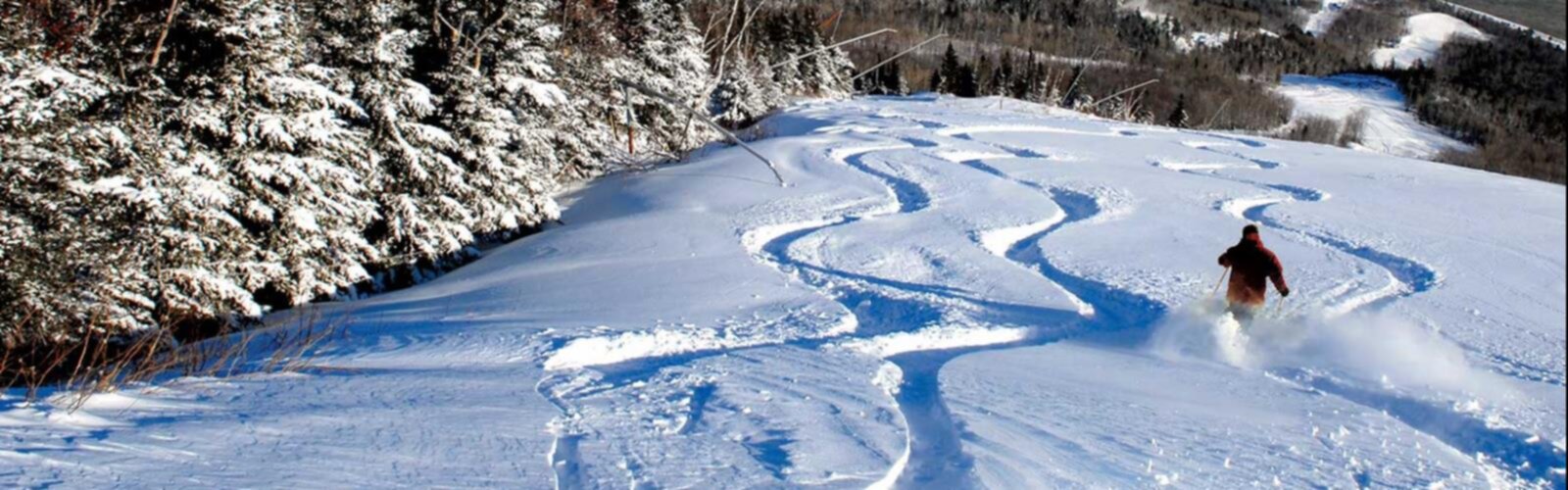
Ready to explore Le Massif de Charlevoix? Here's everything you need to know before you go!
Discover the trail
Oh no! We don't have any photos 😢
This trail hasn't been captured yet. Be the first to share your adventure!Available trails
| TrailTrails | Dist.Distance | GainElevation | Est. timeEstimated time | Difficulty | GPX |
|---|---|---|---|---|---|
|
|
3.1 km | 225 m | ≈ 1h | ||
|
Beginner
|
0.2 km | 15 m | ≈ 15min | Beginner | |
|
Beginner
|
0.2 km | 25 m | ≈ 15min | Beginner | |
|
Beginner
|
2 km | — | Beginner | ||
|
Beginner
|
0.7 km | 27 m | ≈ 15min | Beginner | |
|
Intermediate
|
5.8 km | 270 m | ≈ 2h | Intermediate | |
|
Intermediate
|
2.7 km | 215 m | ≈ 56min | Intermediate | |
|
Intermediate
|
1 km | 65 m | ≈ 19min | Intermediate | |
|
Intermediate
|
1.7 km | — | Intermediate | ||
|
Intermediate
|
2.7 km | 136 m | ≈ 49min | Intermediate | |
|
Intermediate
|
1.3 km | 210 m | ≈ 37min | Intermediate | |
|
Advanced
|
4.1 km | 407 m | ≈ 1h30 | Advanced | |
|
Advanced
|
3.2 km | 430 m | ≈ 1h30 | Advanced | |
|
Advanced
|
3.5 km | 480 m | ≈ 1h30 | Advanced |
Trail description
A ski resort, here for walking
Le Massif de Charlevoix is first a ski resort. In summer it offers mountain biking and hiking, among other activities, and presents its trails as having panoramic views of the St. Lawrence River. Trails start at the summit and at the foot of the mountain.
Season and hours
For summer and fall 2026, the resort's schedule lists hiking every day from June 20 to October 12, 9:30 a.m. to 4:30 p.m. That period is over: the 2027 dates were not published when the page was read on October 28, 2026. The resort prohibits being on trails and runs outside opening hours.
Walking trails
The resort's table gives each trail's length, time, difficulty, elevation change and starting point. For a linear trail, the time is one way; for a loop, it is the total time.
- La Butte Ronde: 0.2 km, linear, 10 min, easy, +15 m. Starts at the base, at the end of La Promenade.
- La Goudrelle: 0.2 km, linear, 10 min, easy, +25 m. Starts at the base.
- Le Buton: 2 km, loop, 45 min, easy, ± 60 m. Starts at the summit.
- Le Forestier (access): 0.7 km, linear, 15 min, easy, +27 m / -18 m. Starts at the base.
- Le Bloc Erratique: 1 km, linear, 30 min, intermediate, +65 m / -24 m. Starts at the summit or the base.
- Le Forestier (loop): 1.7 km, loop, 45 min, intermediate, ± 105 m. Starts at the base.
- Le Lugeron: 2.7 km, linear, 1 h 10, intermediate, +136 m / -49 m. Starts at the summit.
- La Promenade: 3.1 km, linear, 1 h 20, easy / intermediate, +225 m / -70 m. Starts at the base.
- Le Saint-François: 1.3 km, linear, 1 h 10, intermediate, +210 m / -35 m. Starts at the base.
- Gabrielle-Roy Ouest (toward Le Fief): 5.8 km, linear, 2 h 50, intermediate, +270 m / -226 m. Starts at the summit or the base.
- L'Évasion: 2.7 km, loop, 1 h 30, intermediate, +215 m / -174 m. Starts at the base.
- L'Ancestrale: 3.2 km, linear, 2 h 30, hard, +430 m / -34 m. Starts at the base.
- Gabrielle-Roy Ouest (Liguori): 4.1 km, linear, 2 h 45, hard, +407 m / -62 m. Starts at the summit.
- Les Crêtes: 3.5 km, linear, 2 h 45, hard, +480 m. Starts at the summit or the base.
The resort's list also includes two Loup Solitaire Harricana courses, 10 km and 17 km, rated hard and very hard. They are not repeated in the list above.
What the resort says about some trails
- Le Buton leads to a built lookout that offers, according to the resort, a 360-degree panoramic view.
- Le Forestier has obstacles and wooden and stone stairs, and leads to two viewpoints over the St. Lawrence River and Petite-Rivière-Saint-François, with a terrace, benches and tables.
- La Promenade is a stone-dust trail with no obstacles that leads to the viewpoint on the small Butte Ronde, at an altitude of 258 m.
- Le Lugeron ends at luge shelter 1, from which you can see the river and Isle-aux-Coudres, and joins Gabrielle-Roy Ouest.
- Gabrielle-Roy Ouest links Le Lugeron, at the summit, to L'Ancestrale, at the base. The resort presents it as ideal for experienced hikers. Its length varies by page: 5.8 km and 4.1 km in the table (two segments), 11.7 km in the description.
- L'Ancestrale is steep, with footbridges, bridges and stairs on the rock face, and lets you join Gabrielle-Roy Ouest for a big loop. Les Crêtes is narrow, with obstacles and a large elevation change.
Gondola
The gondola is optional. A ticket is required: in 2026, $33 for ages 18 and up, $24 for 13 to 17, $17 for 7 to 12, free for 6 and under (page read on October 28, 2026; prices may change). The ticket is valid for one round trip on the same day, and a one-way ride costs the same. You can get off at the summit or the base to walk, then take a lift again later. In 2026 the gondola ran from 10 a.m. to 4 p.m. from June 20 to October 12. The last lift is at 4 p.m. for guests parked at the summit and 3:30 p.m. for guests parked at the base.
Rules and safety
- Dogs are allowed only on hiking trails, on a leash at all times. They are banned from mountain bike trails.
- The resort uses a "shared bike and hiking trail" sign: on those trails, sharing calls for respect and courtesy.
- Access to some trails can be restricted at any time (fallen trees, damaged ground, events, machinery). Entering a closed trail is an offence under the resort's Code of Conduct.
- In an emergency, from 8 a.m. to 4 p.m., the patrol answers at 418-632-5876, extension 4911. Outside those hours, call 911. Emergency points are posted on unpatrolled trails.
Services and amenities
Washrooms at the summit and base lodges. Snack stop on the summit terrace (in 2026, Friday to Sunday, 11 a.m. to 4:30 p.m., as well as Mondays, September 7 and October 12).
Everything you need for your next hike. Bilingual, printable, 1 page.
Get your free hiking checklistRecommended gear for this trail
As an Amazon Associate I earn from qualifying purchases.


Ready to go?
Everything you need to know before you goStarting Point
Summit: 185 Chemin du Massif, Petite-Rivière-Saint-François, Quebec G0A 2L0. Base: 1350 Rue Principale, Petite-Rivière-Saint-François, Quebec G0A 2L0. Trails start at the summit or the base; each trail's starting point is given in the description.
When?
Hiking, summer and fall 2026: every day from June 20 to October 12, 9:30 a.m. to 4:30 p.m. Season over; 2027 dates not published as of October 28, 2026.
How much?
As an Amazon Associate I earn from qualifying purchases.
Affiliate links — LGPO may earn a commission at no extra cost to you.
- Hiking shoes Essential
- → Salomon Elixir Tour Mid WP · 203.38 $
- Layered clothing Essential
- Rain jacket Essential
- Trekking poles
- → Black Diamond Trail Ergo Cork · 69.99 $
- Headlamp
- → Petzl Actik Core 625 · 103.95 $
FAQ - Frequently asked questions
Everything you need to knowSimilar hikes nearby
Discover other trails you might enjoy

Mont du Lac des Cygnes
Charlevoix

Parc national des Hautes-Gorges-de-la-Rivière-Malbaie
Charlevoix

Parc national des Grands-Jardins
Charlevoix

Mount Morrios
Charlevoix

Sentiers Pédestres Les Éboulements
Charlevoix

Sentier Des Caps De Charlevoix
Charlevoix
Hiking near Quebec City
46 trails to explore ~69 km away
We work hard to provide the most up-to-date and error-free data possible. If something seems incorrect, let us know! Your contribution helps the whole community.
Hikers' opinions
Be the first to review!
No hiker has shared their experience yet. Share your impressions and help other hikers!