

Ready to explore Tour de la Massane? Here's everything you need to know before you go!
Discover the trail
Trail description
The Tour de la Massane is a challenging loop hike in the Pyrénées-Orientales, tucked into the southern edge of the Massif des Albères — the final mountain range of the Pyrenees before they meet the Mediterranean. At 12 km with 750 m of elevation gain and an estimated time of around 5 hours 15 minutes, this is a full-day effort that rewards hikers with a genuine sense of the wild, forested terrain that defines this corner of Occitanie.
The Terrain
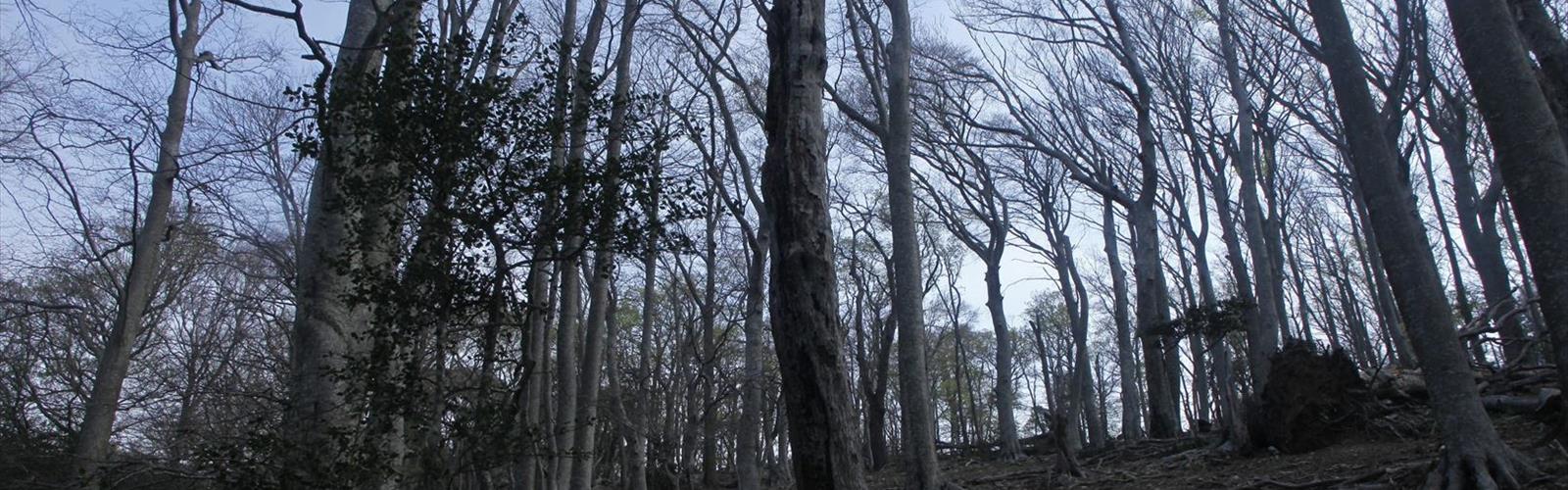
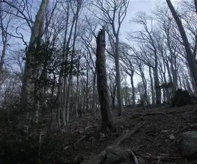
The route lives up to its Hard difficulty rating. The elevation gain is steady and cumulative rather than concentrated in one brutal climb, which means your legs will feel it well before you reach the high points. The forest cover is dense through much of the trail — predominantly oak and beech — which keeps things cool in warmer months but also means the footing can be rooty and uneven. Expect some rocky sections, especially as you gain altitude toward the upper reaches of the Massane valley.
The Massane forest itself is one of the most ecologically significant in the region. It has been protected for well over a century and is recognized as one of the oldest forest reserves in France, which means the trees here are genuinely old-growth in character — thick trunks, mossy ground cover, and a quiet that feels earned rather than manufactured.
What to Expect on the Trail
The loop format means you're not retracing your steps, which makes the experience feel more complete. The trail climbs through the forest, opens up at higher elevations where the views stretch toward the coast and across the Roussillon plain, and then descends back through the trees. The contrast between the enclosed forest sections and the more exposed ridgeline moments is one of the things that makes this route worth the effort.
Signage in this area is generally reliable, but the trail network in the Albères can be dense, so it's worth having a map or a downloaded GPX track before you head out. The terrain is not technical in a scrambling sense, but it demands solid footing and a reasonable base fitness level. Trekking poles are useful on the descent.
Practical Information
- Distance: 12 km
- Elevation gain: 750 m
- Estimated time: 5 hours 15 minutes
- Difficulty: Hard
- Trail type: Loop
There is no reliable water source along the trail, so carry enough for the full duration. The Massane forest reserve has rules in place to protect the ecosystem — stay on marked trails and leave no trace. The area around the Massane is also known for its biodiversity, particularly its insect and bird populations, so this is a trail where slowing down occasionally pays off.
Best Conditions
Spring and fall are the most comfortable seasons for this hike. Summer heat in the Pyrénées-Orientales can be intense, and while the forest provides shade, the exposed sections of the ridge will be unforgiving on a hot July afternoon. Winter is possible but the upper sections can be slippery depending on conditions. Early morning starts are a good idea year-round.
Wear sturdy hiking boots with ankle support — the combination of roots, rocks, and variable terrain makes trail runners a less forgiving choice on this particular route.
The Essential Hiking Checklist
Everything you need for your next hike. Bilingual, printable, 1 page.
Get your free hiking checklistRecommended gear for this trail
As an Amazon Associate I earn from qualifying purchases.


Ready to go?
Everything you need to know before you goStarting Point
The start of the Tour de la Massane trails is in Prades, in the Pyrénées-Orientales.
When?
How much?
As an Amazon Associate I earn from qualifying purchases.
Affiliate links — LGPO may earn a commission at no extra cost to you.
- Hiking shoes Essential
- → Salomon Elixir Tour Mid WP · 203.38 $
- Layered clothing Essential
- Rain jacket Essential
- Trekking poles
- → Black Diamond Trail Ergo Cork · 69.99 $
- Headlamp
- → Petzl Actik Core 625 · 103.95 $
FAQ - Frequently asked questions
Everything you need to knowHiking near Sydney
22 trails to explore ~4924 km away
We work hard to provide the most up-to-date and error-free data possible. If something seems incorrect, let us know! Your contribution helps the whole community.
Hikers' opinions
Be the first to review!
No hiker has shared their experience yet. Share your impressions and help other hikers!