

Ready to explore Deep Creek Trail? Here's everything you need to know before you go!
Discover the trail
Oh no! We don't have any photos 😢
This trail hasn't been captured yet. Be the first to share your adventure!Available trails
| TrailTrails | Dist.Distance | GainElevation | Est. timeEstimated time | Difficulty | GPX |
|---|---|---|---|---|---|
|
|
2.6 km | 49 m | ≈ 39min | ||
|
|
3.9 km | — |
Trail description
The route to Indian Creek Falls
Deep Creek Trail runs along Deep Creek in the Deep Creek area of Great Smoky Mountains National Park, just north of Bryson City and west of Cherokee, North Carolina. According to the National Park Service (NPS), the round trip to Indian Creek Falls is 1.6 mi (2.6 km), with an elevation gain of 160 ft (48.8 m). The route is a wide gravel path with occasional roots and rocks.
About 0.3 mi (0.5 km) from the start, the grade flattens near Tom Branch Falls, where there are five benches. About 0.4 mi (0.6 km) farther, you reach the Indian Creek Trail junction: turn right and walk 520 ft (161 m) to Indian Creek Falls, on your left. The NPS advises caution near the edge of the trail.
The three-waterfall loop
The NPS also describes a 2.4 mi (3.9 km) loop in the Deep Creek area that passes Juney Whank Falls, Indian Creek Falls and Tom Branch Falls. It starts with a short but steep climb to Juney Whank Falls, which you cross on a footbridge. The loop then joins Deep Creek Horse Trail, Deep Creek Trail and Indian Creek Trail, and returns to the trailhead on Deep Creek Trail. The NPS notes some steep sections, stairs and occasional roots and rocks.
Before you go
- Parking: at the end of Deep Creek Road, past Deep Creek Campground. A parking tag is required to park for more than 15 minutes: US$5 a day, US$15 a week or US$40 a year. The NPS states that the tag is not an entrance fee.
- Dogs: not allowed on this trail. In the park, only the Gatlinburg Trail and the Oconaluftee River Trail permit leashed pets.
- Bikes: the NPS lists the lower Deep Creek Trail among the only three park trails where bicycles are allowed, along with the Gatlinburg Trail and the Oconaluftee River Trail. Bicycles are prohibited on all other park trails.
- Restrooms: at Deep Creek Campground, seasonally. The area also has a shaded picnic area.
- Water: the NPS does not recommend swimming or tubing in park waters.
- Reservations: none required for this trail.
Services and amenities
Everything you need for your next hike. Bilingual, printable, 1 page.
Get your free hiking checklistRecommended gear for this trail
As an Amazon Associate I earn from qualifying purchases.


Ready to go?
Everything you need to know before you goStarting Point
Park at the end of Deep Creek Road, past Deep Creek Campground, north of Bryson City (North Carolina). The trail starts from this parking area.
When?
As an Amazon Associate I earn from qualifying purchases.
Affiliate links — LGPO may earn a commission at no extra cost to you.
- Hiking shoes Essential
- → Salomon Elixir Tour Mid WP · 203.38 $
- Layered clothing Essential
- Rain jacket Essential
- Trekking poles
- → Black Diamond Trail Ergo Cork · 69.99 $
- Headlamp
- → Petzl Actik Core 625 · 103.95 $
FAQ - Frequently asked questions
Everything you need to knowOutings near Deep Creek Trail
Discover other trails you might enjoy

Clingmans Dome - Tennessee Highpoint
East Tennessee · 12.5 km away
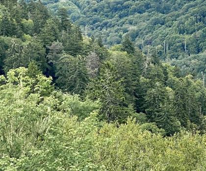
Smoky Mountains
Mountains · 13.5 km away
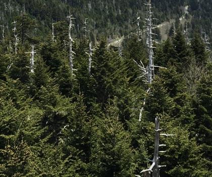
Mount Collins, North Carolina_Tennessee
East Tennessee · 14.0 km away
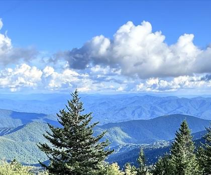
Clingmans Dome
Mountains · 17.0 km away
Eagle Rocks
East Tennessee · 25.1 km away
Mount Chapman, North Carolina_Tennessee
East Tennessee · 28.8 km away
Hiking near Pittsburgh
3 trails to explore ~629 km away
We work hard to provide the most up-to-date and error-free data possible. If something seems incorrect, let us know! Your contribution helps the whole community.
Hikers' opinions
Be the first to review!
No hiker has shared their experience yet. Share your impressions and help other hikers!