

Ready to explore Price River? Here's everything you need to know before you go!
Discover the trail
1
community photos
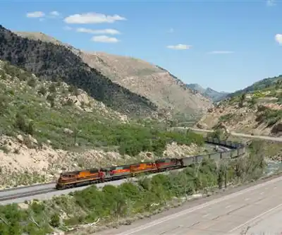
Photos: Kabelleger / David Gubler (http://www.bahnbilder.ch) — CC BY-SA 3.0 (Wikimedia Commons)
Trail description
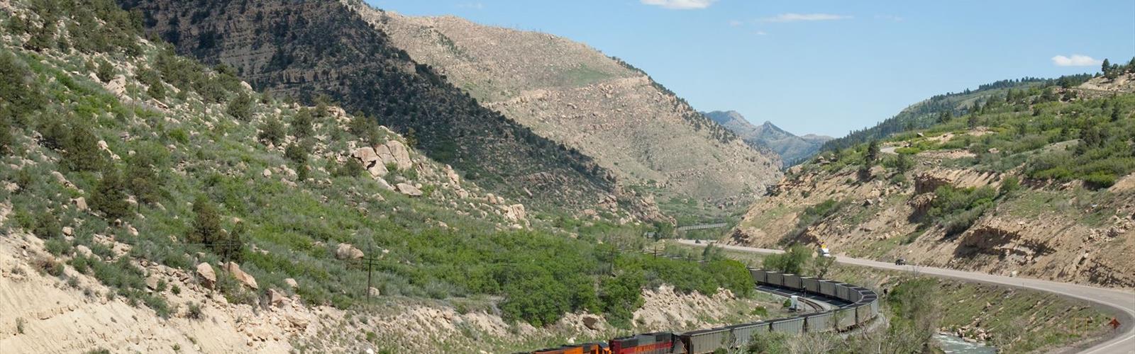
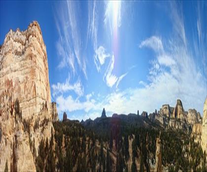
The Price River is a river in the state of Utah, in the United States. The river originates in the Wasatch Plateau in central Utah and flows southeastward through Price Canyon, alongside U.S. Route 6, to the cities of Helper and Price. The river flows along the northeastern edge of the San Rafael Swell to the ghost town of Woodside, where it proceeds to the east, joining the Green River in Gray Canyon after flowing a distance of 137 miles (220 km). Range Creek is one of its tributaries. The average discharge is approximately 337 cfs.
It is generally believed that the Price River was named after LDS Bishop William Price of Goshen, Utah, who explored the region in 1869. The town of Price was later named after the river.
The Scofield Reservoir was formed by the construction of the Scofield Dam in 1946. There are plans to build a second dam on the river, upstream from the Scofield Dam, called the Gooseberry Narrows Dam. The proposal has met with opposition out of concern for environmental impacts on trout fisheries in the Price River headwaters and the planned diversion of the water impounded by the dam out of the Colorado River basin to supplement the irrigation systems of the Sanpete Valley. As a result of the planned dam the Price River was included on the American Rivers list of the top ten endangered rivers in the United States in 2005.
The Price is a small, shallow river and is normally unnavigable. However, during springtime flows, the 23.5 miles (37.8 km) below the Scofield dam to Castle Gate contain Class I to V whitewater. The river has become increasingly popular with canoeists and kayakers.
Free
1 pages
The Essential Hiking Checklist
Everything you need for your next hike. Bilingual, printable, 1 page.
Get your free hiking checklistRecommended gear for this trail
As an Amazon Associate I earn from qualifying purchases.
LGPO Pick

Salomon
Elixir Tour Mid WP
Waterproof mid-height boot ideal for rocky terrain
203.38 $


Affiliate links — LGPO may earn a commission at no extra cost to you.
Ready to go?
Everything you need to know before you goWhen?
Opening hours
No information
Varies by season
Best season
Fall
Spectacular colors
Best time
Early morning
Less crowded
Weather (next days)
Loading
How much?
Entry fees
Adult
Not available
Child
—
What to bring?
As an Amazon Associate I earn from qualifying purchases.
Affiliate links — LGPO may earn a commission at no extra cost to you.
Gear
- Hiking shoes Essential
- → Salomon Elixir Tour Mid WP · 203.38 $
- Layered clothing Essential
- Rain jacket Essential
- Trekking poles
- → Black Diamond Trail Ergo Cork · 69.99 $
- Headlamp
- → Petzl Actik Core 625 · 103.95 $
Water & food
2L minimum
No water point on the trail
Bring energy snacks for a 4h+ hike
Good to know
Safety
Download the GPX before you go
Limited cellular coverage on the trail
Slippery after rain
Be careful on rocky sections
In an emergency
Emergency
911
Parking GPS
39.235, -110.626035
Center
Not available
FAQ - Frequently asked questions
Everything you need to knowAllow about 5.5 hours for Price River (21 km).
No, Price River has no visitor centre on site.
Didn't find your answer?
Similar hikes nearby
Discover other trails you might enjoy

Top 10 best hiking in Central Utah
Our ranking based on hiker reviews
Hiking near Regina
4 trails to explore ~1332 km away
Did you spot an error?
We work hard to provide the most up-to-date and error-free data possible. If something seems incorrect, let us know! Your contribution helps the whole community.
Hikers' opinions
Be the first to review!
No hiker has shared their experience yet. Share your impressions and help other hikers!