
Ready to explore White Rim Trail? Here's everything you need to know before you go!
Discover the trail
Trail description
What Makes This Trail Stand Out
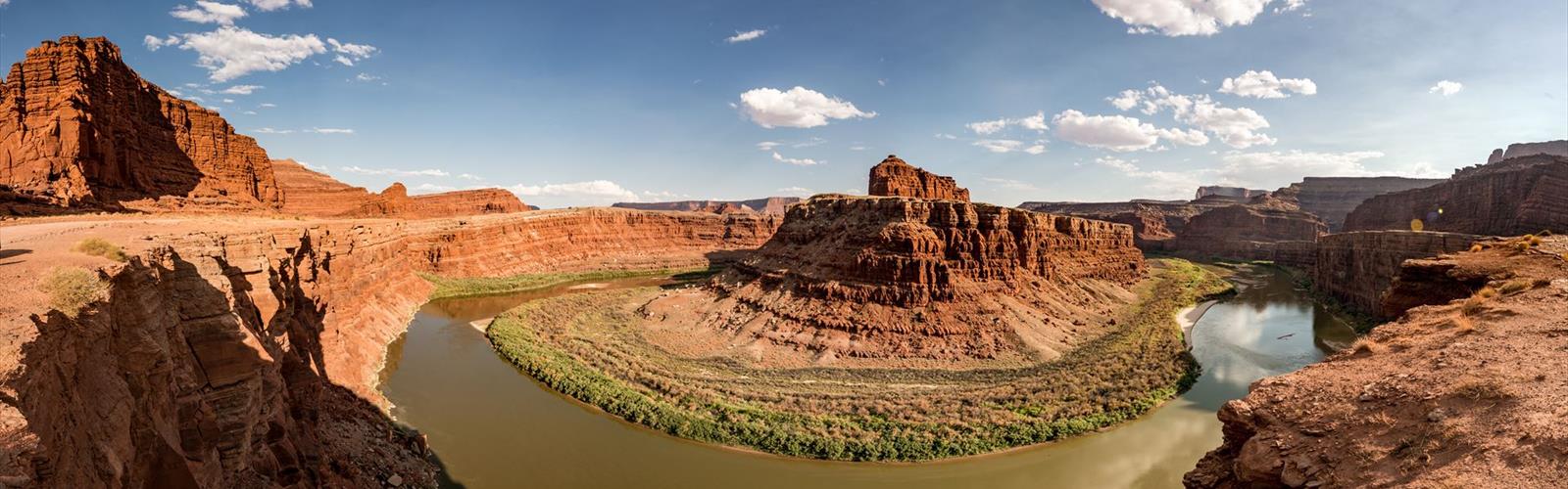
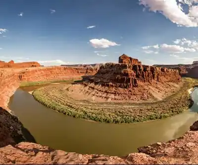
The White Rim Trail follows an old jeep road along the White Rim sandstone formation, a broad bench that sits roughly 1,200 feet below the Island in the Sky mesa and several hundred feet above the inner gorges of the Colorado and Green Rivers. That positioning gives riders a perspective that's completely unique — you're not on top of the canyon looking down, and you're not at the bottom looking up. You're suspended in between, moving through a landscape that feels like it belongs to another planet.
The trail loops around the Island in the Sky district, passing through open desert flats, narrow ledges, rocky climbs, and exposed stretches where the canyon drops away sharply on one or both sides. The rock underfoot is mostly hardpacked dirt and sandstone, with sections of loose gravel and technical rocky terrain mixed in. It's not a technically extreme trail by mountain bike standards, but the remoteness and the cumulative mileage make it a serious undertaking.
In winter
According to the NPS, winters at Canyonlands are cold, with highs averaging 30 to 50°F (-1 to 10°C) and lows averaging 0 to 20°F (-17 to -6°C). Large snowfalls are uncommon in the park (except in nearby mountains), but even small amounts of snow or ice can make trails and roads impassable. In the Island in the Sky district, paved roads may close temporarily after snow while crews plow, and unpaved backcountry roads may be impassable for longer periods. The Shafer Trail, one of the steep sections of the White Rim loop, is often impassable in winter due to snow and ice. The NPS recommends that drivers carry chains for all four tires, especially from October through April, and says all vehicles should carry chains during winter.
A permit is required for all overnight backcountry travel and for day-use trips on the White Rim Road, even when the visitor center is closed; the permit must then be reserved online (the NPS also mentions the Backcountry Reservation Office in Moab). The winter season for overnight permits runs December 10 to March 9. According to the NPS winter page (updated September 21, 2026), the Island in the Sky visitor center is open daily from 8 a.m. to 4 p.m. from October 28 through November 29, then from 9 a.m. to 4 p.m. from November 30 through March 2, except Christmas Day (closed), Christmas Eve and Thanksgiving Day (closing at 1 p.m.). Water may be available there only when it is open, and there is no water in the campground; there is no gas, food or lodging at Island in the Sky.
Everything you need for your next hike. Bilingual, printable, 1 page.
Get your free hiking checklistRecommended gear for this trail
As an Amazon Associate I earn from qualifying purchases.


Ready to go?
Everything you need to know before you goWhen?
As an Amazon Associate I earn from qualifying purchases.
Affiliate links — LGPO may earn a commission at no extra cost to you.
- Hiking shoes Essential
- → Salomon Elixir Tour Mid WP · 203.38 $
- Layered clothing Essential
- Rain jacket Essential
- Trekking poles
- → Black Diamond Trail Ergo Cork · 69.99 $
- Headlamp
- → Petzl Actik Core 625 · 103.95 $
FAQ - Frequently asked questions
Everything you need to knowOutings near White Rim Trail
Discover other trails you might enjoy
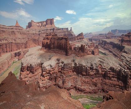
White Rim Road
Southern Utah · 20.7 km away
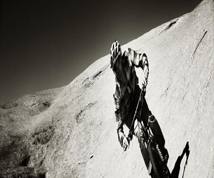
Slickrock Trail
Southern Utah · 25.5 km away
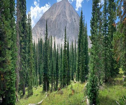
Mount Peale
Southern Utah · 47.0 km away
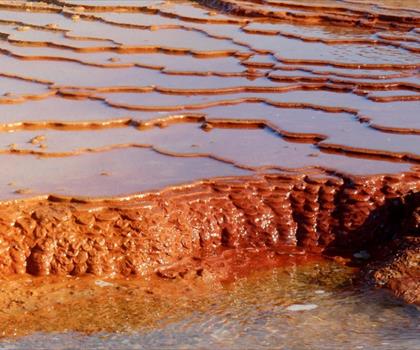
Crystal Geyser
Southern Utah · 62.0 km away
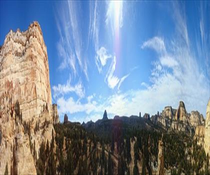
Reds Canyon Trail
Central Utah · 107.2 km away
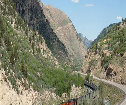
Price River
Central Utah · 113.9 km away
Hiking near Regina
4 trails to explore ~1393 km away
We work hard to provide the most up-to-date and error-free data possible. If something seems incorrect, let us know! Your contribution helps the whole community.
Hikers' opinions
Be the first to review!
No hiker has shared their experience yet. Share your impressions and help other hikers!