

Ready to explore Slickrock Trail? Here's everything you need to know before you go!
Discover the trail
Trail description
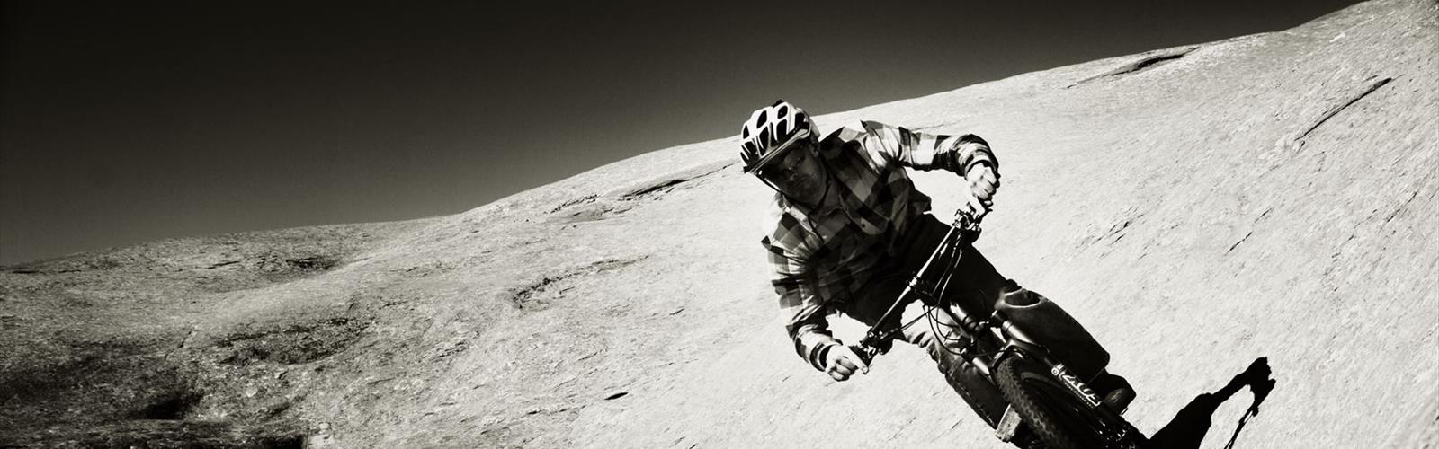
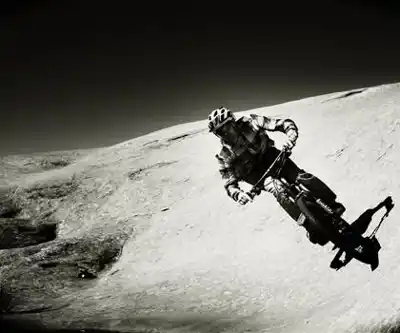
The Slickrock Trail is one of the most iconic mountain bike routes in the American West — and honestly, one of the most unique riding experiences you'll find anywhere. Located just outside Moab in central Utah, this trail has been drawing riders from around the world for decades, and for good reason. The terrain here is unlike anything else: a vast expanse of petrified sand dunes made of Navajo sandstone, rolling and rippling across the desert landscape in every direction.
Don't let the name fool you. "Slickrock" actually grips your tires surprisingly well when dry — the sandstone surface creates serious traction, which is part of what makes this place so rideable and so addictive. That said, the trail is genuinely challenging, and first-timers should come prepared.
The Terrain
The Slickrock Trail is a loop that winds across open sandstone domes, ledges, steep rollers, and technical drops. The rock surface itself is the defining feature — there's almost no dirt, no gravel, no roots. Just raw, exposed stone carved by wind and time into a surreal, almost lunar landscape. The trail is marked with painted white dots, which you follow across the rock. Lose the dots and you'll quickly find yourself off-route in a maze of identical-looking stone.
The elevation changes are constant and punishing. You're not grinding up one long climb — instead, you're hitting short, steep pitches over and over again, often with technical lines that require precise bike handling. Some sections are near-vertical, and walking your bike is completely normal, even for experienced riders. There's no shame in it.
A practice loop is available near the trailhead, and it's genuinely worth doing if it's your first time here. It gives you a real feel for how the rock behaves under your tires before you commit to the full loop.
What to Expect on the Ride
The views are a huge part of the experience. From the high points on the trail, you get sweeping panoramas of the Colorado River canyon, the La Sal Mountains rising in the distance, and the red rock desert stretching out in every direction. It's the kind of scenery that makes you stop pedaling just to take it in.
The trail is exposed — there's almost no shade out there. The sun reflects off the sandstone and the heat builds fast, especially in summer. Most riders who know the trail well avoid it during the hottest months and stick to spring and fall when temperatures are more manageable. Early morning starts are smart no matter the season.
Wind is another factor. The open sandstone plateau offers zero protection, and a strong headwind on a steep climb is a humbling experience. Check the forecast before you go.
Difficulty and Who It's For
This trail is not for beginners. The Slickrock Trail has a well-earned reputation as a technically demanding ride that requires solid bike handling skills, good fitness, and the right mindset. The steep, rocky terrain will test your balance, your nerve, and your legs. Riders who underestimate it often end up walking significant portions — or worse, getting hurt.
That said, intermediate to advanced riders who are comfortable on technical terrain will find this trail deeply rewarding. The challenge is real, but so is the payoff. There's a reason people come back to Slickrock year after year.
Hikers do use the trail as well, though mountain bikers are the primary users. If you're on foot, be aware that bikes move fast on the descents and the sightlines aren't always great. Stay alert and give riders space.
Practical Information
- Location: The trailhead is located just east of Moab, Utah, off Sand Flats Road.
- Fee area: Sand Flats Recreation Area charges a day-use fee. Have cash or a card ready at the entrance.
- Parking: There's a designated parking area at the trailhead with restroom facilities.
- Water: There is no water available on the trail. Carry more than you think you'll need — the desert heat and physical exertion will drain you faster than expected.
- E-bikes: Check current regulations at the Sand Flats Recreation Area, as rules around e-bikes on this trail can change.
- Dogs: Dogs are permitted but must be leashed. The hot sandstone surface can be brutal on paw pads — if you bring your dog, check the rock temperature with your hand first.
Getting There
From downtown Moab, head east on 300 South, which turns into Mill Creek Drive. Follow the signs to Sand Flats Road and continue up to the Sand Flats Recreation Area entrance. The trailhead for the Slickrock Trail is well-signed from there. The road is paved to the entrance and becomes a maintained dirt road inside the recreation area.
Best Time to Visit
Spring (March through May) and fall (September through November) are the sweet spots for riding Slickrock. Temperatures are comfortable, the light is incredible, and the trail conditions are at their best. Summer is doable but demands very early starts and serious heat management. Winter riding is possible on dry days, but wet or icy sandstone becomes genuinely dangerous — the traction that makes this trail great disappears completely when the rock is wet.
A Few Tips Before You Go
- Ride the practice loop first if you've never been here — it's short but gives you a real sense of the terrain.
- Bring a trail map or download the route offline. Cell service is unreliable out on the rock.
- Tire pressure matters more here than almost anywhere else. Many riders drop pressure slightly for better grip on the sandstone.
- Start early. The trailhead fills up fast on weekends, especially in peak season.
- Let someone know your plan. The trail is well-traveled, but it's still remote desert terrain.
The Slickrock Trail is the kind of place that earns its reputation honestly — it's demanding, it's exposed, and it will push your skills, but the combination of world-class terrain and jaw-dropping desert scenery makes it one of the most memorable rides in Utah.
The Essential Hiking Checklist
Everything you need for your next hike. Bilingual, printable, 1 page.
Get your free hiking checklistRecommended gear for this trail
As an Amazon Associate I earn from qualifying purchases.


Ready to go?
Everything you need to know before you goWhen?
How much?
As an Amazon Associate I earn from qualifying purchases.
Affiliate links — LGPO may earn a commission at no extra cost to you.
- Hiking shoes Essential
- → Salomon Elixir Tour Mid WP · 203.38 $
- Layered clothing Essential
- Rain jacket Essential
- Trekking poles
- → Black Diamond Trail Ergo Cork · 69.99 $
- Headlamp
- → Petzl Actik Core 625 · 103.95 $
FAQ - Frequently asked questions
Everything you need to knowSimilar hikes nearby
Discover other trails you might enjoy
Boulder Top
Southern Utah
Mount Peale
Southern Utah
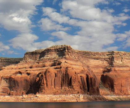
Lake Powell
Southern Utah
Under the Rim Trail
Southern Utah
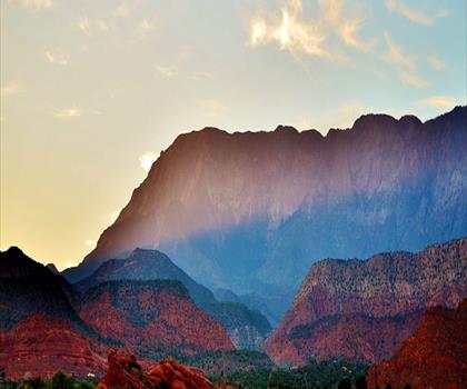
Silver Reef
Southern Utah

Harris Wash
Southern Utah
Hiking near Regina
4 trails to explore ~1374 km away
We work hard to provide the most up-to-date and error-free data possible. If something seems incorrect, let us know! Your contribution helps the whole community.
Hikers' opinions
Be the first to review!
No hiker has shared their experience yet. Share your impressions and help other hikers!