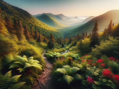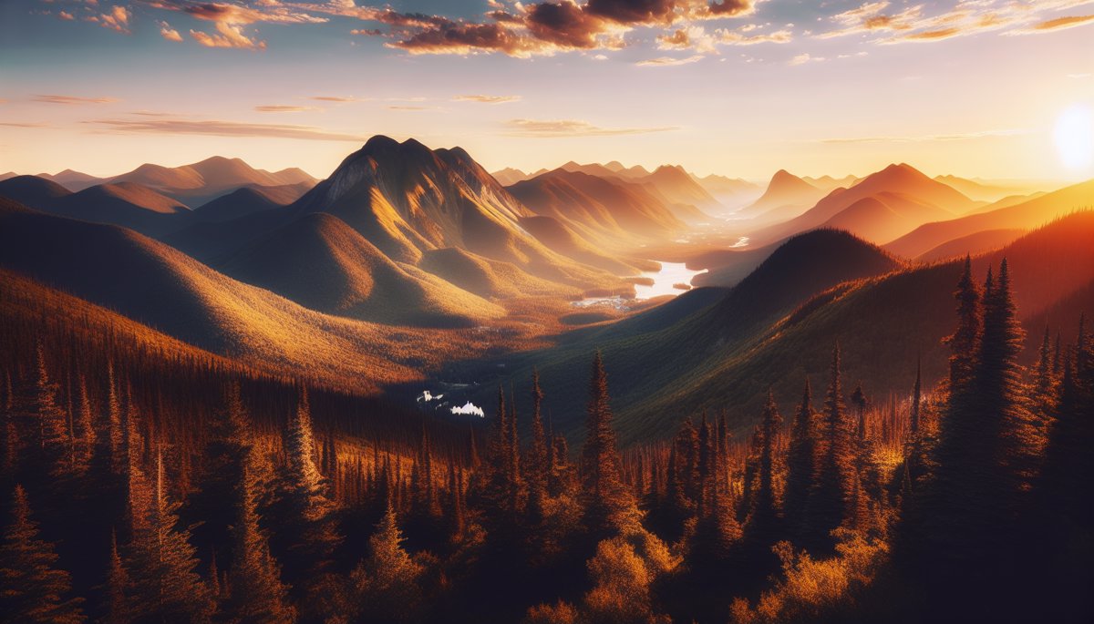

🏔️ Charlevoix: My Favorite Playground for 20 Years
Hey there! If you're looking for me in summer, there's a good chance you'll find me somewhere in Charlevoix, pack on my back and a blissful smile in front of a breathtaking panorama. After hiking hundreds of trails in Quebec, I can tell you without hesitation that this region offers the best hikes in eastern Canada. Between the Saint Lawrence River shimmering below and the peaks that brush the clouds, Charlevoix is a bit like hiking in a postcard. But not just any postcard – one that moves, that lives, that makes you sweat a little (a lot sometimes!) and rewards you with views you'll never forget. In this top 10 hikes to do in Charlevoix this summer, I'm going to share my absolute favorites. Trails I've walked so many times I could do them with my eyes closed, but that I rediscover with each outing.
📥 Download our free gifts — Detailed Charlevoix maps, equipment checklists and weather guide to plan your summer hikes like a pro.
Get my gifts →
Get my gifts →
🥾 My 10 Must-Do Charlevoix Hikes (Ranked by Favorites)
1. Parc national des Hautes-Gorges-de-la-Rivière-Malbaie
Let's start strong with the jewel of Charlevoix. This park is simply spectacular. I've been returning every summer for 15 years and I still discover corners that leave me speechless. Parc national des Hautes-Gorges-de-la-Rivière-Malbaie offers several trails, but my two favorites remain: L'Acropole des Draveurs (11 km round trip, 550m elevation gain): A sustained climb that takes you to a viewpoint at 1048m altitude. The view over the Malbaie valley is to die for. On clear days, you can see all the way to the river! Les Caps (6 km round trip, 400m elevation gain): More accessible, this trail winds between rock faces before offering a plunging view of the Malbaie River, 800 meters below.
💡 Pro tip — Arrive early at the park (before 9am) in summer. Parking lots fill up quickly and you'll avoid the crowds at the viewpoints. Plus, the morning light on the gorges is magical for photos.
2. Mont du Lac-des-Cygnes
Ah, Mont du Lac-des-Cygnes! If you want to impress your friends on Instagram (and incidentally live an unforgettable experience), this is where you need to go. Distance: 8 km round tripElevation gain: 630m
Duration: 4-5 hours
Level: Intermediate to difficult The climb is demanding – I won't lie to you, you're going to sweat! But when you reach the summit (1,040m), the 360-degree panorama makes you forget all your efforts. On one side the Saint Lawrence River, on the other mountains as far as the eye can see.
3. Mont des Morios
Mont des Morios is my not-so-secret little secret. Less known than its neighbors, it nevertheless offers one of the most beautiful views of Baie-Saint-Paul and Île aux Coudres. Distance: 7 km round tripElevation gain: 500m
Duration: 3-4 hours
Level: Intermediate The trail starts in mixed forest before climbing toward the alpine zone. The summit at 1,015m rewards you with a breathtaking view of Baie-Saint-Paul bay. On clear days, you can even make out Tadoussac in the distance!
4. Sentier des Caps de Charlevoix
For those who love long hikes, the Sentier des Caps de Charlevoix is a must. This 51 km long-distance trail can be done in sections. My favorite section: Petite-Rivière-Saint-François to Saint-Tite-des-Caps (14 km). You follow the river cliffs with breathtaking viewpoints. It's like walking on the edge of the world!
⚠️ Warning — The cliffs are impressive but dangerous. Always stay on the marked trail and keep your distance from the edges, especially in windy or wet weather.
5. Mont Grands-Fonds
Mont Grands-Fonds (skiing in winter, hiking in summer) is perfect for a family outing or for those who want quick results without too much effort. Distance: 4 km round tripElevation gain: 300m
Duration: 2-3 hours
Level: Easy to intermediate You can even take the chairlift up and walk down! Personally, I like to make the effort both ways – it gives more satisfaction at the summit.
| Hike | Distance | Elevation | Level | Main View |
|---|---|---|---|---|
| Acropole des Draveurs | 11 km | 550m | Difficult | Malbaie Valley |
| Mont Lac-des-Cygnes | 8 km | 630m | Difficult | 360° river/mountains |
| Mont des Morios | 7 km | 500m | Intermediate | Baie-Saint-Paul |
| Sentier des Caps | 14 km | 400m | Intermediate | River cliffs |
| Mont Grands-Fonds | 4 km | 300m | Easy | Charlevoix Massif |
6. Parc national des Grands-Jardins
Parc national des Grands-Jardins is another world. You go from boreal forest to alpine tundra in just a few kilometers. My favorite trail here: Mont du Lac des Cygnes (different from the previous one) via the Sentier du Mont-du-Lac-des-Cygnes. Distance: 16 km round tripElevation gain: 550m
Duration: 6-8 hours
Level: Difficult It's long, but the diversity of landscapes is mind-blowing. You start in dense forest, cross peat bogs, then arrive in a quasi-arctic landscape at the summit.
7. Les Palissades
Les Palissades is a 350-meter rock wall that dominates the Malbaie River. Not technically difficult, but impressive! Distance: 5 km round tripElevation gain: 350m
Duration: 3 hours
Level: Intermediate The view from the top over the valley is spectacular, especially late in the day when the sun lights up the rock faces.
8. Sentier de la Chute du Diable
For a refreshing hike, head to Chute du Diable. Perfect for hot summer days! Distance: 6 km round tripElevation gain: 200m
Duration: 2-3 hours
Level: Easy The trail follows the Gouffre River and ends at a magnificent 40-meter waterfall. You can even swim in the natural pool at the foot of the falls (if you're not afraid of cold water!).
9. Mont Éboulements
Mont Éboulements offers a unique view of Île aux Coudres and the Saint Lawrence River. It's less crowded than other summits, making it an excellent choice for those seeking tranquility. Distance: 6 km round tripElevation gain: 450m
Duration: 3-4 hours
Level: Intermediate
10. Parc régional du Massif du Sud
To finish this top 10, Parc régional du Massif du Sud offers several trails with breathtaking views of the river. My favorite: the Sentier du Sommet. Distance: 8 km round tripElevation gain: 500m
Duration: 4 hours
Level: Intermediate
📌 Good to know — Several of these parks charge access fees (generally $8-12 per adult). It's totally worth it for the quality of trails and infrastructure maintenance.
🌡️ When to Go Hiking in Charlevoix This Summer?
The best period for hiking in Charlevoix is from mid-June to late September. But each time has its advantages: June: Fewer crowds, cool temperature, perfect for long hikes. Watch out for black flies in some areas! July-August: Ideal conditions but busier. Summits can be crowded on sunny weekends. September: My favorite month! Fall colors begin, it's cooler, and insects have disappeared.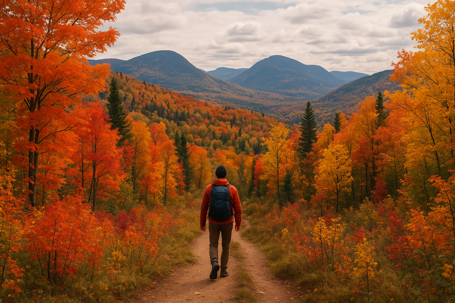
"Charlevoix in September is like having nature all to yourself. Colors explode, the air is fresh, and every step resonates in the silence of the mountains." — My hiking journal, September 2023
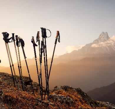
🎒 Essential Equipment for Hiking in Charlevoix
After years of hiking these trails, here's what I absolutely recommend bringing: For your feet:
💡 Pro tip — Invest in good socks! I've seen too many hikers ruin their outing because of blisters. Merino wool socks are life-changing. Really.
For safety:
🚗 How to Access Charlevoix Trails
By car (most practical): Charlevoix is accessible via Route 138 from Quebec City (about 1h30) or via Route 381 from Saguenay. Parking: Most trails have parking lots, but they fill up quickly in summer. My trick: arrive before 8:30am or after 3pm to avoid the rush. Public transport: Limited, but possible via intercity buses to Baie-Saint-Paul, then taxi/rideshare to more remote trailheads.
⚠️ Warning — Some trail parking lots are isolated. Never leave valuables visible in your car. I learned this lesson the hard way a few years ago...
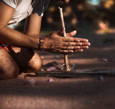
🐻 Mountain Safety: My Field Advice
Charlevoix is beautiful but it's still wild nature. Here are my golden rules after 20 years without major incident: Before leaving:🍁 Charlevoix Off the Beaten Path
If you want to get away from the classics, here are some lesser-known gems I've discovered over the years: Sentier du Bras-du-Nord: Technically not in Charlevoix but very close. Excellent for canyoning and via ferratas. Mont Olivine: A little-known peak with views of the Grands-Jardins. Perfect for avoiding crowds. Les Éboulements on foot: A network of small local trails maintained by passionate volunteers. Ask the locals!
📌 Good to know — To discover lesser-known trails, nothing beats a chat with local outdoor store employees. They know all the little secrets of their region.
📸 My Must-Have Photo Spots
Want to bring back memorable souvenirs? Here are my favorite angles: Sunrise: Summit of Mont du Lac-des-Cygnes (arrive 30 minutes before sunrise to set up your spot) Sunset: Les Palissades or Sentier des Caps (golden light on the cliffs is magical) Panoramas: L'Acropole des Draveurs for the view over the Malbaie valley Action shots: The rocky sections of Mont des Morios are perfect for scrambling photos
💡 Pro tip — For sunrise photos, bring a headlamp and leave in the dark. It's a bit sporty, but the colors you'll capture are worth all the effort.
🌟 My Beginner Mistakes to Absolutely Avoid
After making (almost) every possible mistake, here are the ones that can really ruin your outing: Underestimating the weather: I've been caught in a storm at the summit of Mont du Lac-des-Cygnes. Not fun! Always have a plan B. Leaving too late: Full parking lots are frustrating. Crowded trails ruin the experience. Neglecting hydration: The dry air of summits dehydrates more than you think. I've had memorable headaches because of this. Wearing cotton: It stays wet, dries poorly, and can become dangerous if weather turns bad. If you're new to hiking, our complete beginner's guide and the 10 classic mistakes to avoid can save you a lot of trouble.Conclusion: Charlevoix is Waiting for You, So What Are You Waiting For?
There you have it, you now have my 10 favorite hikes in Charlevoix for this summer. Each of these outings has marked me in one way or another, and I'm convinced they'll be part of your most beautiful outdoor memories. My advice to get started:Newsletter
Content that makes you want to go outside
Every week, a trail idea, a reflection on nature, or a tip worth the detour. Zero spam. Only the essentials.
Joined by 12,000+ outdoor enthusiasts
Read next