


Ready to explore Jug Island Beach? Here's everything you need to know before you go!
Discover the trail


Trail description
Tucked away in Belcarra Regional Park, Jug Island Beach offers one of the most rewarding short hikes in the Vancouver area. This secluded pebble beach sits on the shores of Indian Arm, a dramatic fjord that cuts deep into the Coast Mountains, creating a wilderness setting that feels remarkably remote despite being just a short drive from the city.
The trail delivers a moderately challenging hike through some of the region's most impressive old-growth forest. You'll wind through towering groves of Douglas fir and western red cedar, their massive trunks creating a cathedral-like canopy overhead. The elevation gain is spread throughout the route, with gentle climbs and descents that keep the hike interesting without being overly strenuous.
The Trail Experience
From the trailhead at Belcarra Regional Park, the path immediately plunges into dense coastal forest. The well-maintained trail follows the contours of the shoreline, occasionally offering glimpses of Indian Arm through breaks in the trees. About halfway to the beach, you'll encounter a small creek crossing that can be particularly scenic during spring runoff or after heavy rains.
The forest floor here is quintessentially Pacific Northwest—thick with ferns, salal, and moss-covered logs that create a lush green carpet. During wet weather, this same vegetation can make the trail quite muddy, particularly in the lower sections closer to the water. The path includes some rocky sections and root-covered areas that require attention, especially when conditions are slippery.
As you approach Jug Island Beach, the forest begins to open up, and you'll catch your first full views of Indian Arm stretching north toward the mountains. The final descent to the beach involves navigating some larger rocks and can be a bit steep, but the payoff is immediate once you reach the shoreline.
The Beach Setting
Jug Island Beach itself is a crescent of smooth pebbles and small stones facing west across Indian Arm. The beach provides panoramic views of the fjord's steep-sided mountains, which rise dramatically from the water's edge. On clear days, you can see far up the arm toward the peaks of the Coast Range, while closer examination reveals the intricate patterns of logging roads and regenerating forest on the opposite slopes.
The beach offers several natural seating areas among the driftwood logs that have washed ashore over the years. These make perfect spots for picnicking or simply taking in the scenery. The water here is typically quite cold year-round, as Indian Arm is fed by mountain streams and receives limited direct sunlight due to the surrounding peaks.
Wildlife and Natural Features
Indian Arm supports a healthy population of harbor seals, and it's common to spot their heads bobbing in the water near the beach. They're often curious about visitors but maintain a respectful distance. Bald eagles are frequently seen soaring overhead or perched in the large trees along the shoreline, taking advantage of the excellent fishing opportunities in the fjord.
The intertidal zone at low tide reveals a variety of marine life, including small crabs, barnacles, and various seaweeds. The beach faces west, making it an excellent spot for afternoon light and sunset viewing during the longer days of summer. The surrounding old-growth forest creates a natural amphitheater that amplifies the sounds of lapping waves and bird calls while filtering out any distant city noise.
Trail Conditions and Terrain
The path to Jug Island Beach presents a good mix of terrain that keeps hikers engaged throughout the journey. You'll navigate through sections of soft forest floor covered in fallen needles, cross occasional wooden bridges over seasonal streams, and pick your way carefully over exposed roots and rocks. The trail is generally well-marked, but some sections can become overgrown during the peak growing season.
Wet conditions transform the character of this hike significantly. The clay-rich soil in some areas becomes quite slippery when saturated, and the wooden features like bridges and boardwalks can become treacherous. However, these same conditions bring out the vibrant greens of the coastal forest and create small waterfalls along the creek crossings that aren't present during dry periods.
Planning Your Visit
The trailhead is located within Belcarra Regional Park, where you'll find parking areas and restroom facilities. There are no services directly at Jug Island Beach, so come prepared with everything you need for your visit. Water and snacks are essential, as the moderate length and elevation gain of the trail will work up an appetite.
Sturdy hiking footwear is particularly important here, as the trail can become quite slippery when wet. The combination of muddy sections, root-covered areas, and rocky terrain near the beach requires good traction and ankle support. After periods of rain, consider bringing trekking poles for additional stability on the more challenging sections.
The trail is accessible year-round, though winter conditions can make it more challenging due to increased rainfall and shorter daylight hours. Spring and fall offer excellent hiking conditions with fewer crowds, while summer provides the warmest weather and longest days for enjoying the beach setting. Early morning visits often reward hikers with misty, atmospheric conditions over Indian Arm and the chance to spot wildlife before the area sees much human activity.
Pack out all trash, as this is an undeveloped natural area within the regional park system. The beach's pristine condition depends on visitors leaving no trace of their presence.
The Essential Hiking Checklist
Everything you need for your next hike. Bilingual, printable, 1 page.
Get your free hiking checklistRecommended gear for this trail
As an Amazon Associate I earn from qualifying purchases.


Ready to go?
Everything you need to know before you goStarting Point
The easiest way to get to the start of the trails at the jug island beach is to drive to Nanaimo and take the ferry from Departure Bay to Gabriola Island. From there, drive to the end of South Road and park in the lot.
When?
Tuesday: 7:00 AM – 5:00 PM
Wednesday: 7:00 AM – 5:00 PM
Thursday: 7:00 AM – 5:00 PM
Friday: 7:00 AM – 5:00 PM
Saturday: 7:00 AM – 5:00 PM
Sunday: 7:00 AM – 5:00 PM
How much?
As an Amazon Associate I earn from qualifying purchases.
Affiliate links — LGPO may earn a commission at no extra cost to you.
- Hiking shoes Essential
- → Salomon Elixir Tour Mid WP · 203.38 $
- Layered clothing Essential
- Rain jacket Essential
- Trekking poles
- → Black Diamond Trail Ergo Cork · 69.99 $
- Headlamp
- → Petzl Actik Core 625 · 103.95 $
FAQ - Frequently asked questions
Everything you need to knowSimilar hikes nearby
Discover other trails you might enjoy
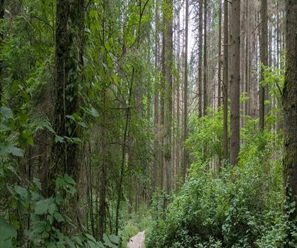
Bridle Path
Vancouver Coast Mountains
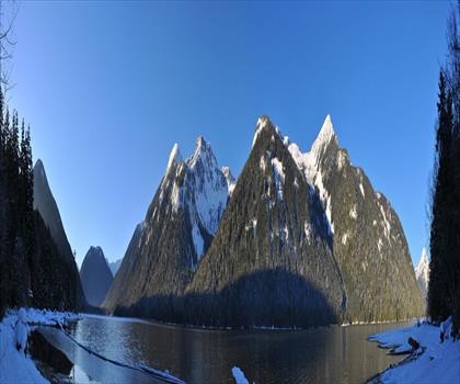
Flora Lake
Vancouver Coast Mountains

Alouette Mountain
Vancouver Coast Mountains
Williamson Lake
Vancouver Coast Mountains
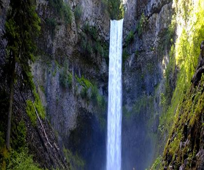
Brandywine Mountain
Vancouver Coast Mountains

Coliseum Mountain
Vancouver Coast Mountains
Hiking near Vancouver
235 trails to explore ~16 km away
We work hard to provide the most up-to-date and error-free data possible. If something seems incorrect, let us know! Your contribution helps the whole community.
Hikers' opinions
Be the first to review!
No hiker has shared their experience yet. Share your impressions and help other hikers!