

Ready to explore Sentiers pédestres Opasatica? Here's everything you need to know before you go!
Discover the trail
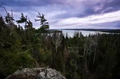
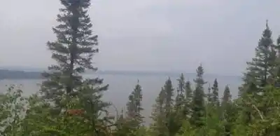

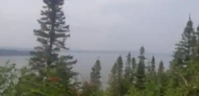
Available trails
| Trails | Distance | Elevation | Duration | Difficulty | GPX |
|---|---|---|---|---|---|
| 1.6 km | 50 m | 26min | Beginner | ||
| 2.6 km | 35min | Beginner | |||
| 8 km | 100 m | 2h | Intermediate |
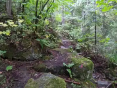
Trail description
{
"correction": "Add accurate information about trail variety and elevation gain ranges",
"details": "The description should note that elevation gain varies significantly by trail (100m for main network vs 233-281m for individual loops like Red/Yellow). Current text understates difficulty variance."
}
Recommended gear for this trail


Ready to go?
Everything you need to know before you goStarting Point
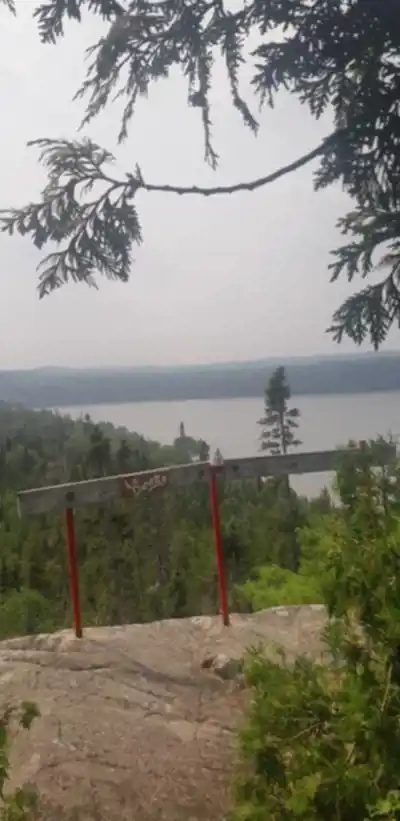
To access the hiking trails, you can start at the main trailhead located at 100 Chemin du Lac Opasatica, Rouyn-Noranda, QC. There are several parking options available near this address. Additionally, another possible starting point is at the intersection of Chemin de la Baie Verte and Chemin du Lac Opasatica. Both locations provide convenient access to the trail network.
When?
How much?
- Hiking shoes Essential
- → Salomon Elixir Tour Mid WP · 203.38 $
- Layered clothing Essential
- Rain jacket Essential
- Trekking poles
- → Black Diamond Trail Ergo Cork · 69.99 $
- Headlamp
- → Petzl Actik Core 625 · 103.95 $
FAQ - Frequently asked questions
Everything you need to knowThe Essential Hiking Checklist
Everything you need for your next hike. Bilingual, printable, 1 page.
Download the free checklistSimilar hikes nearby
Discover other trails you might enjoy

Pointe-aux-roches
Abitibi-Témiscamingue

Parc national d'Aiguebelle
Abitibi-Témiscamingue

La Bannik
Abitibi-Témiscamingue

Récré-eau des quinze
Abitibi-Témiscamingue

Sentier Pédestre Grande Chute
Abitibi-Témiscamingue

Camp Dudemaine
Abitibi-Témiscamingue
Hiking near Gatineau
48 trails to explore ~401 km away
We work hard to provide the most up-to-date and error-free data possible. If something seems incorrect, let us know! Your contribution helps the whole community.
Hikers' opinions