
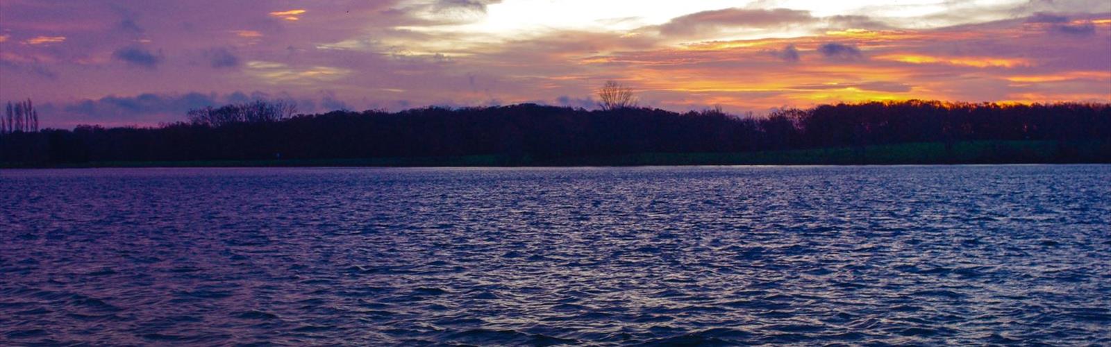
Ready to explore Base de loisirs de La Ramée? Here's everything you need to know before you go!
Discover the trail
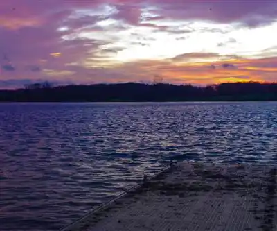
Trail description
Base de loisirs de La Ramée is one of those places that earns its reputation simply by delivering exactly what it promises: a well-rounded outdoor destination just a short drive from Toulouse where you can walk, swim, fish, or just sit by the water without any fuss. The site is built around a large lake formed from a former gravel quarry, now fully reclaimed by nature and transformed into a genuinely pleasant recreational area along the Garonne River corridor in Haute-Garonne.
The setting works on multiple levels. You have the lake itself as the central feature, the Garonne River accessible nearby, and a network of easy walking paths connecting it all through parkland, riparian forest, and open green spaces. It's the kind of place that rewards a slow visit — bring a picnic, take the loop, watch the waterfowl, and let the afternoon unfold.
The Walking Circuit
The main trail at Base de loisirs de La Ramée covers 3.5 km with only 50 m of elevation gain, making it genuinely accessible for all fitness levels, including families with young children, older adults, and anyone recovering from injury. The estimated time for the full circuit is around 1 hour 15 minutes at a relaxed pace, though most people will find natural reasons to slow down — a good fishing spot, a bench with a lake view, or a section of riverside trail worth lingering on.
The main loop follows the perimeter of the lake, keeping the water in view for most of the route. The path is flat, wide, and well-maintained, surfaced with packed earth and gravel that holds up well after light rain. It's comfortable underfoot and easy to navigate without a map. The circuit is also suitable for jogging and cycling, so expect a mix of users on busier days.
Secondary paths branch off toward the Garonne River, where the character of the walk shifts noticeably. The terrain becomes slightly more varied, the vegetation denser, and the atmosphere quieter. These sections pass through stands of poplar and willow trees that provide solid shade in summer and striking color in autumn. The riverside stretches are where you're most likely to spot local wildlife — waterfowl are a constant presence, and the riparian corridor supports a range of small mammals as well. Worth noting: sections near the river can get muddy during wet weather, so trail shoes or waterproof footwear are a smart call in spring and autumn.
Water Activities
The lake is the heart of the site, and it earns that status. The water quality is regularly monitored, and designated swimming areas are marked by buoys and supervised during busy periods. Beach areas with imported sand line parts of the shore, giving you a comfortable spot to set up for the day. The shallow zones near the beaches make this a particularly good option for families with young children.
Fishing is well-established here. The lake holds carp, pike, and perch, and several fishing platforms extend into the water for stable casting positions. A valid fishing permit is required, and local regulations apply regarding catch limits and approved bait — check current rules before you go.
Small watercraft including kayaks, canoes, and pedal boats can be launched from designated areas. The protected, calm surface of the lake makes it a good environment for beginners. Boat rentals may be available during peak season, though availability can vary.
Facilities on Site
The infrastructure at Base de loisirs de La Ramée is solid without being overdone. A large parking area handles vehicles of various sizes, including those with boat trailers, and parking is free of charge. Clean restroom facilities and changing areas are available during the active season.
Picnic tables and benches are spread throughout the grounds, many of them positioned with lake views. Some areas include barbecue grills — verify current fire regulations before planning to cook. A snack bar operates during peak season for basic refreshments, but most visitors bring their own food to take advantage of the picnic infrastructure.
The paths and main areas are wide enough to accommodate strollers and wheelchairs, and multiple entry and exit points give flexibility for shorter visits. Dogs are welcome but must remain leashed in most areas, and owners are expected to clean up after their pets. Animals are generally restricted from designated swimming zones.
What Makes This Place Worth the Trip
What sets Base de loisirs de La Ramée apart from a typical urban park is the combination of a genuine lake environment with accessible river access and enough trail variety to keep a walk interesting. The former quarry origin of the lake gives the water a clarity and depth that you don't always find in natural ponds, and the transition between the manicured lakeside areas and the wilder riverside sections gives the site a layered feel.
The Easy difficulty rating is accurate — this is not a challenging hike by any measure — but that's precisely the point. It's a place designed for a broad range of visitors, and it delivers a quality outdoor experience without requiring any particular fitness level or gear. The flat terrain, free parking, no entrance fee for basic access, and the range of activities available in one location make it a practical and genuinely enjoyable destination for families, casual walkers, and anyone looking for a natural setting close to Toulouse.
Practical Notes
- Distance: 3.5 km
- Elevation gain: 50 m
- Estimated time: 1 hour 15 minutes
- Difficulty: Easy
- Trail surface: Packed earth and gravel; some muddy sections near the river in wet conditions
- Parking: Free, large lot including space for vehicles with boat trailers
- Entrance fee: No charge for basic access; some activities or rentals may involve fees
- Dogs: Allowed on leash; restricted from swimming zones
- Fishing: Valid permit required; local regulations apply
Everything you need for your next hike. Bilingual, printable, 1 page.
Get your free hiking checklistReady to go?
Everything you need to know before you goWhen?
- Hiking shoes Essential
- Layered clothing Essential
- Rain jacket Essential
- Trekking poles
- Headlamp
FAQ - Frequently asked questions
Everything you need to knowOutings near Base de loisirs de La Ramée
Discover other trails you might enjoy
Lac des Auzerals
Tarn · 41.0 km away
Parc naturel régional des Pyrénées Ariégeoises
Ariège · 70.0 km away
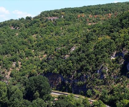
Belvedere du Cirque de Bone
Tarn-et-Garonne · 72.2 km away

Château de la Bancalié
Tarn · 80.4 km away
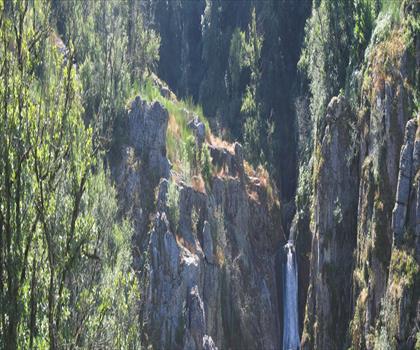
Les Cascades d'Arifat
Tarn · 82.3 km away
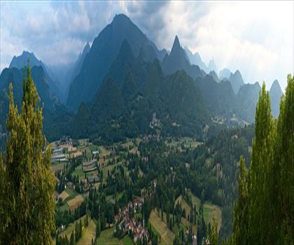
Lac de Montréjeau
Haute-Garonne · 83.3 km away
Hiking near Sydney
25 trails to explore ~4749 km away
We work hard to provide the most up-to-date and error-free data possible. If something seems incorrect, let us know! Your contribution helps the whole community.
Hikers' opinions
Be the first to review!
No hiker has shared their experience yet. Share your impressions and help other hikers!