

Ready to explore Circuit D'interprétation Historique De Preissac? Here's everything you need to know before you go!
Discover the trail
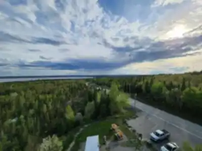

Trail description
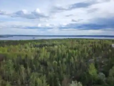
Historical interpretation along the way
What makes the Circuit D'interprétation Historique De Preissac stand out is the set of 6 interpretive panels placed along the route. These panels are there to help you "read" the landscape rather than just pass through it. You'll get context on Preissac's past, including information tied to the region's geological formations and its cultural heritage.
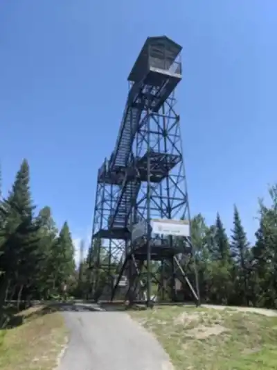
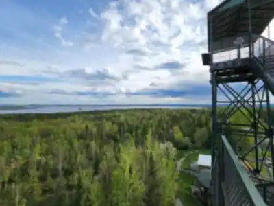
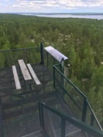
Plan to take your time here. Instead of treating it like a timed workout, it works best as an unhurried walk where you stop whenever something catches your attention—whether that's a panel that sparks questions, a stretch of forest that feels especially peaceful, or a viewpoint that makes you want to linger for a photo.
Recommended gear for this trail


Ready to go?
Everything you need to know before you goStarting Point
To access the hiking trails, head to the main trailhead located at 10 Rue de la Gare, Preissac, QC J0Y 2E0. This is the primary starting point for exploring the area. There are no additional trailheads for this particular set of trails.
When?
How much?
- Hiking shoes Essential
- → Salomon Elixir Tour Mid WP · 203.38 $
- Layered clothing Essential
- Rain jacket Essential
- Trekking poles
- → Black Diamond Trail Ergo Cork · 69.99 $
- Headlamp
- → Petzl Actik Core 625 · 103.95 $
FAQ - Frequently asked questions
Everything you need to knowThe Essential Hiking Checklist
Everything you need for your next hike. Bilingual, printable, 1 page.
Download the free checklistSimilar hikes nearby
Discover other trails you might enjoy

Pointe-aux-roches
Abitibi-Témiscamingue

Parc national d'Aiguebelle
Abitibi-Témiscamingue

La Bannik
Abitibi-Témiscamingue

Sentiers pédestres Opasatica
Abitibi-Témiscamingue

Récré-eau des quinze
Abitibi-Témiscamingue

Sentier Pédestre Grande Chute
Abitibi-Témiscamingue
Hiking near Gatineau
48 trails to explore ~377 km away
We work hard to provide the most up-to-date and error-free data possible. If something seems incorrect, let us know! Your contribution helps the whole community.
Hikers' opinions